Oil and gas production in Texas peaked in 1972, but the state still contributed 28 percent of oil production and 33 percent of gas production in the United States in 1984. The outlook for future oil and gas supplies in Texas can best be defined by analyzing the trends of the past 10 to 15 years.
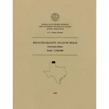
This folded transparent map is at the same scale as its corresponding Geologic Atlas of Texas (GAT) sheet and can be superimposed on it to compare gravity information with surface geology.
This folded transparent map is at the same scale as its corresponding Geologic Atlas of Texas (GAT) sheet and can be superimposed on it to compare gravity information with surface geology.
This folded transparent map is at the same scale as its corresponding Geologic Atlas of Texas (GAT) sheet and can be superimposed on it to compare gravity information with surface geology.