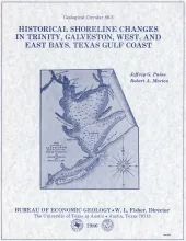
Changes in shoreline position occurring for more than a century provide estimates of the relative stability of shorelines and, along the Texas coast, allow comparisons of shoreline changes before and after human modifications became significant.
Statistical analysis of chemical data on Texas Eocene coals revealed startigraphic and geographic trends in lignite quality. Chemical data on near-surface coals wre obtained from various private and public sources. Seams from deep-basin coals were compared. Wilcox coals are the best for combustion processes, Yeagua coals are intermediate, and Jackson coals are the poorest. Wilcox Group coals, in the Sabine Uplift particularly, are borderline lignite A to subbituminous C in rank in both the near surface and the deep basin. Jackson Group coals are lignite A in the near surface.
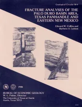
Fractures and veins in strata of the Palo Duro Basin area, Texas Panhandle and eastern New Mexico, are characterized using data from outcrop and core studies and from fracture identification log analysis. Fractures are associated with faults and folds that occur along the margins of the Palo Duro Basin and in relatively undeformed strata within the central basin area. Along the Amarillo Uplift, strikes of fractures in Permian and Triassic rocks differ from fracture orientations in overlying Tertiary strata.
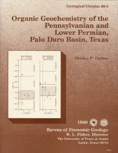
Cores from deep stratigraphic test wells provide an excellent basis for determination of source-rock quality and thermal maturity of potential hydrocarbon source rocks in the Palo Duro Basin. Total organic carbon (TOC) content in Pennsylvanian and Wolfcampian rocks is highest in basinal shales. TOC values greater than 0.5 percent are common, which indicates that Palo Duro Basin shales contain sufficient organic matter to serve as source beds. Microscopic identification indicates that vitrinite, herbaceous material, and amorphous organic matter are the most abundant types of kerogen.
This folded transparent map is at the same scale as its corresponding Geologic Atlas of Texas (GAT) sheet and can be superimposed on it to compare gravity information with surface geology.