Geologic Maps
Sets of cross sections through selected areas of Texas, with accompanying explanatory text booklets
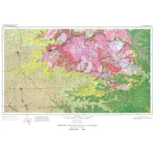
38 geologic map sheets that cover the entire state of Texas at 1:250,000 scale.
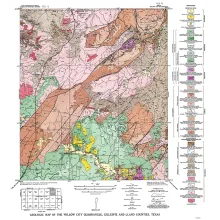
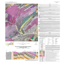
Maps at (mostly) quadrangle scales depicting the surface geology of selected counties and areas in Texas from the 1950's-1980's
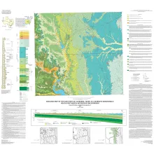
Specialized maps and charts covering a wide variety of topics and areas including historic Texas geological maps, Enchanted Rock, Big Bend National Park, Lake Travis, and more.
