Publication Details
Geolocation:
Get the Publication
$50.50
Abstract/Description:
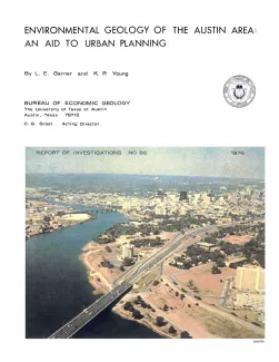
The area described in this report comprises 712 square miles centered on the City of Austin. The area extends north almost to Round Rock, south to the vicinity of Buda, east to just beyond Manor, and west to about 5 miles west of Oak Hill. It includes approximately 604 square miles of Travis County, 38 square miles of Hays County, 18 square miles of Bastrop County, and 52 square miles of Williamson County.
The aim of this publication is to supply geologic information that can be used to prevent or minimize problems that arise during urban development. A series of maps has been constructed for this purpose; the maps illustrate distribution of topographic conditions, soils, surface drainage, physical properties, rock types, land use, and vegetation.
Base maps were compiled from 7.5- and 15-minute U. S. Geological Survey topographic maps and a 1970 edition of a map of the City of Austin. Basic geologic mapping was completed on aerial photographs at a scale of 1:20,000. Supplementary maps were prepared by combining data from the basic geologic map with soils, engineering, topographic, and vegetation data. Final maps were constructed at scales of 1:62,500 (approximately 1 inch equals 1 mile) and 1:125,000 (approximately 1 inch equals 2 miles).