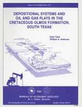
The Upper Cretaceous Olmos Formation in South Texas continues to be an active exploration target 60 years after oil was first discovered in this clastic assemblage. The shallow, oil-bearing formation was deposited on a broad, wave-influenced shelf. Sand accumulated in two depocenters. Initial deposition took place in a western depocenter during an early phase of wave-dominated deltaic sedimentation. Deposition of the strike-elongate delta preceded two cycles of high-constructive deltaic deposition, during which time sediments prograded seaward over the Lower Cretaceous shelf edge.
Near-surface lignite resources in Texas, or those under less than 200 feet (61 m) of cover, are ample to meet the state's demand for lignite in this century. However, meeting demand in the early decades of the next century and beyond will require the recovery of lignite resources below 200 feet (61 m) in the deep basin. Ultimately, the economics of recovery and use of these deep resources will be governed by their quantity, depth, quality, and hydrogeologic suitability.
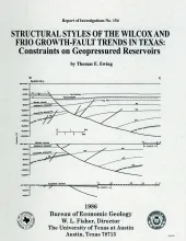
The wide variability in structural styles within the growth-faulted, geopressured trends of the Texas Gulf Coast is illustrated by detailed structural maps of selected areas of the Wilcox and Frio growth-fault trends and quantified by statistical analysis of fault compartment geometries. Structural variability is a key determinant of the size of geopressured aquifers in the deep subsurface.Two major structural styles exist in the Wilcox trend.
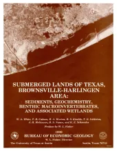
The State-owned submerged lands of Texas encompass almost 6,000 mi2 (15,540 km2). They lie below waters of the bay-estuary-lagoon system and the Gulf of Mexico and extend 10.3 mi (16.6 km) seaward from the Gulf shoreline (fig. 1). The importance of these lands and their resources to resident flora and fauna as well as to people is well known and documented; more than one-third of the state's population is concentrated within an area of the Coastal Zone that is only about one-sixteenth of the state's land area.
Fluid pressure, permeability, rates and patterns of ground-water flow, and chemical and isotopic composition of ground water in carbonate rock in the lower part of the San Andres Formation (Permian) in eastern New Mexico and the Texas Panhandle were studied to characterize the origin and movement of brine within an evaporite-carbonate-shale confining system.