Annual report for the Bureau of Economic Geology 1986
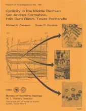
The San Andres Formation in the Palo Duro Basin is a middle Permian carbonate-evaporite sequence situated between two red-bed units, the underlying Glorieta and the overlying undifferentiated Queen-Grayburg sequences. The San Andres Formation, deposited during relative structural quiescence in the region, is composed of cyclic sequences of dark anhydritic mudstone, skeletal limestone, dolomite, nodular anhydrite, bedded anhydrite, and halite.
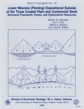
The Fleming Group and its basinward equivalents constitute the stratigraphic record of one of the major Cenozoic depositional episodes of the northern Gulf Coast Basin. The depositional sequence representing the episode is bounded above by the Amphistegina B shale and below by the Anahuac shale. Initially, lower Miocene (Oakville) progradation advanced across the broad submerged shelf platform constructed during earlier Frio deposition. When outbuilding reached the Frio paleocontinental margin, the rate slowed as large-scale growth faulting created a narrow lower Miocene expansion zone.
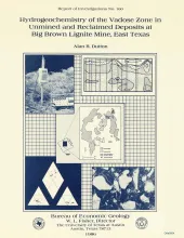
In the subsurface and at the outcrop, waters in argillaceous deposits of the Calvert Bluff Formation (lower Eocene, Wilcox Group) are brackish to saline. Samples of vadose water from the outcrop of argillaceous beds at Big Brown lignite mine in Freestone County, Texas, have chloride concentrations of as much as 3,500 mg/L and total dissolved solids of as much as 8,000 mg/L. The composition of brackish ground water was probably modified from Eocene seawater by sevenfold to ninefold dilution with rain water.
The northern Salt Basin in West Texas and New Mexico is a closed hydrologic system in which discharge of ground-water flow occurs in a series of playas, or salt flats. Ground water originating in peripheral consolidated rocks and alluvial fans flows toward the center of the basin and discharges by evaporation from the salt flats. Progressive increases in salinity are characteristic of the waters moving down gradient and are primarily attributed to evaporative concentration.