Publication Details
Geolocation:
Get the Publication
$8.00
Abstract/Description:
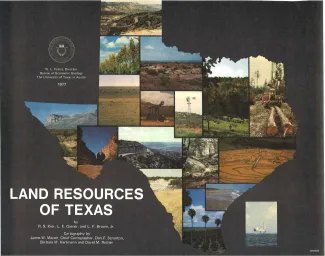
Texas is endowed with an enormous variety of natural land resources that vary from the humid forest lands of East Texas to the vast desert lands of Trans-Pecos, from the swamps and marshes of the Texas Coastal Zone to the arid plains of the Panhandle, and from the rich farmland of Central Texas to the sparsely vegetated sand plain of the south Texas coast. Almost 270,000 square miles of land, including plains, plateaus, mountains, hill country, beaches, river valleys, badlands, and many other types of terrain, comprise the natural land wealth of the State. Large enough to span many climatic zones, geologic provinces, and botanical realms, Texas encompasses some of the most diverse regions of North America.
As part of this great diversity, Texas exhibits a natural variability in energy and mineral resources, agricultural capacity, water supplies, environmental sensitivity, and recreational potential that attracts a broad spectrum of industry and people. The Land Resources of Texas map classifies and describes the variety of lands in the State and depicts their distribution and interrelationships. Texas citizens and various government agencies can use the map to understand and appreciate better the State's natural land endowment and to have a basis for evaluating natural considerations that are important in the use of the State's natural resources. The map provides the basic facts about the land resources of Texas.