Publication Year
1986
Publisher
Series
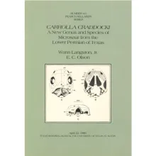
Texas Memorial Museum
Publication Year
1986
Series
Gulf Coast Association of Geological Societies
Publication Year
1986
Publisher
Series
Austin Geological Society
Publication Year
1986
Publisher
Series
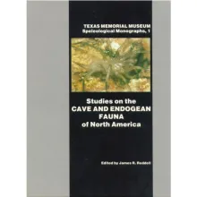
Texas Memorial Museum
Publication Year
1986
Series
Gulf Coast Association of Geological Societies