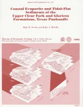
Red beds, evaporites, and carbonates of the upper Clear Fork and Glorieta Formations (Permian) of the Texas Panhandle form an association of facies deposited in nearshore and supratidal environments along an arid coastline. Carbonates were deposited in inner-shelf depositional environments and exhibit upward-shoaling, sabkha-like successions of dolomitic mudstones containing nodular anhydrite. Landward of the shoaling carbonates was a vast salt plain, or sabkha, in which evaporites were deposited in supratidal brine pans and salt flats.
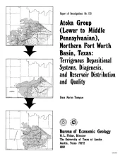
The Fort Worth Basin, in North-Central Texas, is a late Paleozoic foreland basin that was downwarped during the Early to Middle Pennsylvanian Period in response to tectonic stresses that also produced the Ouachita Thrust Belt. The Atoka Group was deposited during the initial westward progradation of chert-rich terrigenous clastics derived both from the Ouachita Thrust Belt and locally from the Muenster Arch across the northern part of the basin. At the northern end of the basin, the Atoka Group interfingers with arkosic conglomerates (granite wash) derived from the Red River-Electra Arch.
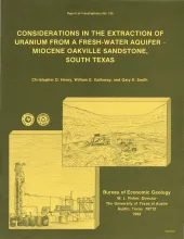
The Miocene Oakville Sandstone is a major aquifer and uranium host beneath the Texas Coastal Plain. In 1976, approximately 6,000 acre-ft of ground water were withdrawn from the Oakville for municipal use. An additional but unknown amount was used for drinking water in rural areas, for livestock, and for irrigation. Potential sustained yield is many times greater. Present and future uranium mining by either surface or in situ methods could affect the availability and quality of Oakville ground water unless the mining is designed properly.
The Oakville Sandstone is a major aquifer and a major host of uranium deposits in the Texas Coastal Plain. This report discusses the geochemistry - including major ions, the trace elements uranium, molybdenum, arsenic, and selenium, and oxidation-reduction potential - of Oakville ground water to evaluate the potential effect of uranium mining on water quality. Ground-water chemistry was investigated both regionally and in two major uranium mining districts.