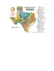
A 4x6" postcard showing the geology of Texas
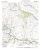
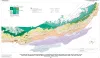
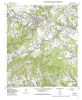
This volume comprises several short papers that review the results of the Bureau's State Lands Energy Resource Optimization (SLERO) project.