The Neogene Ogallala Formation is an alluvial apron that occurs east of the Rocky Mountains from South Dakota to the Southern High Plains of Texas. The Ogallala was deposited by coalescent, low-gradient, wet alluvial fans that headed in mountains to the west. Geometry and depositional facies of the Ogallala Formation in Texas north of the 33rd parallel have been determined from outcrop studies and drillers' log descriptions.
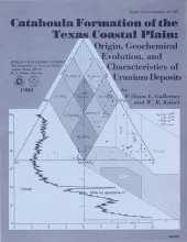
The Catahoula Formation is composed of ancient fluvial sediments that controlled a wide range of water/sediment interactions responsible for uranium mobilization, transportation, and concentration.
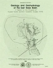
Analysis during the second year was highlighted by a historical characterization of East Texas Basin infilling, the development of a model to explain the growth history of the domes, the continued studies of the Quaternary in East Texas, and a better understanding of the near-dome and regional hydrology of the basin. Each advancement represents a part of the larger integrated program addressing the critical problems of geologic and hydrologic stabilities of salt domes in the East Texas Basin.
Lignite development will place major demands on ground-water supplies. The Simsboro Formation and the Calvert Bluff Formation (a major lignite-bearing unit) of the Wilcox Group between the Colorado and Trinity Rivers constituted a test case to evaluate the availability and quality of ground water. Aquifer geometry (sand) was determined by comparing environmental geologic maps with subsurface sand-percent and net-sand maps constructed from electric logs (Kaiser, 1978).
Five distinct facies are recognized in the Eocene Queen City exposures between the Trinity River valley and the Louisiana state boundary. These facies (fluvial, deltaic, tidal flat, barrier, and tidal delta) display diagnostic suites of physical and biogenic structures. Sandstones within these facies exhibit substantial differences in paleocurrent pattern.