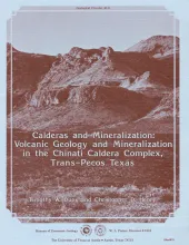
This report describes preliminary results of an ongoing study of the volcanic stratigraphy, caldera activity, and known and potential mineralization of the Chinati Mountains area of Trans-Pecos Texas. Many ore deposits are spatially associated with calderas and other volcanic centers. A genetic relationship between calderas and base and precious metal mineralization has been proposed by some (Albers and Kleinhampl, 1970) and denied by others (McKee, 1976, 1979).
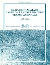
Analysis of seven frames of Landsat imagery covering the Texas Panhandle and adjacent areas revealed linear physiographic features including stream channels, stream valleys, scarps, and aligned playa-lake depressions. These lineaments show preferred orientations of 300°-320°, 030°-050°, and, 0°-020°. The 300°-320° orientation of aligned playas and shallow surface drainage is best developed on the surface of the Southern High Plains. The orthogonal 030°-050° orientation is less well represented.
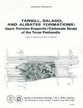
The Salado-Tansill and Alibates Formations are the youngest evaporite and carbonate facies within a thick Permian sequence of evaporites, carbonates, and red beds in the Texas Panhandle. They accumulated during the final stages of a regional regression that began in Early Permian time, and they record the last minor incursion and subsequent regression of Permian seas in the Texas Panhandle.
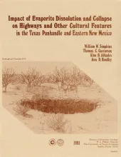
Geological investigations in the Texas Panhandle and eastern New Mexico indicate that regional subsurface dissolution of Permian evaporites has occurred and is an ongoing process. Evidence of removal of large volumes of evaporites (mainly halite) and collapse of overlying beds is demonstrated by cross sections constructed from gamma-ray logs.
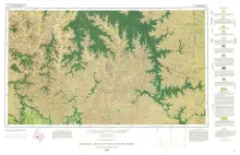
Geologic map that depicts the surface geology of Sutton County and parts of Terrell, Crockett, Val Verde, Edwards, Kimble, Menard, Schleicher, and Pecos Counties.