Bureau of Economic Geology Publications
| Title | Publication Year Sort ascending | Abstract | Author | Publisher | |
|---|---|---|---|---|---|
|
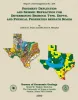
Pavement Deflection and Seismic Refraction for Determining Bedrock Type, Depth, and Physical Properties beneath Roads | 2000 | We examined the relationship between three data types--geologic maps, measurements of pavement deflection under load, and seismic refraction data-- from diverse geologic settings in Texas to determine (1) whether geologic maps and seismic refraction data might be used to interpret deflections and |
Paine, J.G., Murphy, M.R. | Bureau of Economic Geology |
|
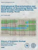
Petrophysical characterization and distribution of remaining mobile oil: South Cowden Grayburg Reservoir, Ector County, Texas | 2000 | This report uses the rock fabric method to construct a reservoir model of a Permian Basin Grayburg dolomite reservoir. Rock fabrics are related to porosity, permeability, and capillary pressure and are distributed within a sequence stratigraphic framework. |
Lucia, F.J. | Bureau of Economic Geology |
|
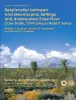
Relationship between arid geomorphic settings and unsaturated zone flow: case study, Chihuahuan desert, Texas | 2000 | Because geomorphic features can readily be mapped, our ability to characterize unsaturated flow over large areas would be greatly enhanced if relationships between geomorphic settings and unsaturated flow could be identified. |
Scanlon, B.R., Goldsmith, R.S., Langford, R.P. | Bureau of Economic Geology |
|
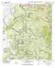
Geologic map of the Mahomet Quadrangle, Texas | 1999 | Collins, E.W. | Bureau of Economic Geology | |
|
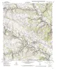
Geologic map of the Flat Rock Creek SW quadrangle, Texas | 1999 | Collins, E.W. | Bureau of Economic Geology | |
|
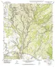
Geologic map of the Liberty Hill Quadrangle, Texas | 1999 | Collins, E.W. | Bureau of Economic Geology | |
|
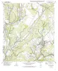
Geologic map of the Mud Creek North quadrangle, Texas | 1999 | Collins, E.W. | Bureau of Economic Geology | |
|
Geologic map of the Mud Creek South quadrangle, Texas | 1999 | Collins, E.W. | Bureau of Economic Geology | |
|
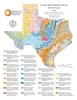
Land-Resource Map of Texas | 1999 | Wermund, E.G. | Bureau of Economic Geology | |
|
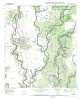
Geologic map of the Sabinal quadrangle, Texas | 1999 | Collins, E.W. | Bureau of Economic Geology |