|
Tectonostratigraphy and Allochthonous Salt Tectonics of Axel Heiberg Island, Central Sverdrup Basin, Arctic Canada |
2014 |
|
Harrison, J.C., Jackson, M.P.A. |
Bureau of Economic Geology |
|
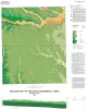
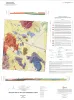
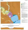
Geologic map of the Hood quadrangle |
2014 |
|
Collins, E.W. |
Bureau of Economic Geology |
|
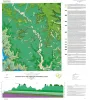
Geologic map of the Travis Peak quadrangle |
2014 |
|
Woodruff, C.M., Jr. |
Bureau of Economic Geology |
|
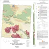
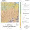
Geologic map of the Gunsight Hills South quadrangle, Texas |
2014 |
|
Elliott, Brent A. |
Bureau of Economic Geology |
|
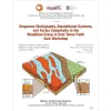
Sequence Stratigraphy, Depositional Systems, and Facies Complexity of the Woodbine Group in East Texas Field: Core Workshop |
2014 |
|
Ambrose, W.A., Hentz, T.F., Loucks, R.G., Frébourg, Gregory, Potter, E.C. |
Bureau of Economic Geology |
|
Geologic map of the Lasca quadrangle, Texas |
2014 |
|
Elliott, Brent A. |
Bureau of Economic Geology |
|
Geologic map of the Losoya quadrangle, Texas |
2014 |
|
Elliott, Brent A. |
Bureau of Economic Geology |
|
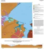
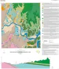
Geologic map of the Bayside quadrangle: Aransas Delta and Copano Bay Area, Texas Gulf of Mexico Coast |
2014 |
|
Paine, J.G., Collins, E.W. |
Bureau of Economic Geology |
|
Geologic map of the Mission Bay quadrangle: Mission Delta and Copano Bay area, Texas Gulf of Mexico Coast |
2014 |
|
Paine, J.G., Collins, E.W. |
Bureau of Economic Geology |
|
Geologic map of the Smithwick quadrangle, Texas |
2014 |
|
Woodruff, C.M., Jr. |
Bureau of Economic Geology |