Publication Year
2002
Publisher
Series
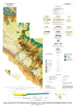
Open-File Map
Publication Year
2002
Publisher
Series
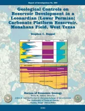
Report of Investigations
Abstract
This report combines borehole core and geophysical log study with porosity and permeability data to define patterns of facies and permeability distribution in a typical upper Clear Fork reservoir in the Permian Basin. Key findings are that permeability, but not porosity, varies markedly with facies and that spectral gamma ray logs are critical for defining facies, facies architecture, and reservoir quality.
Publication Year
2002
Publisher
Series
Open-File Map
Publication Year
2002
Publisher
Series
Open-File Map
Publication Year
2002
Publisher
Series
Miscellaneous Map