
Publication Year
1983
Publisher
Series
Texas Memorial Museum
Publication Year
1983
Series
Gulf Coast Association of Geological Societies
Publication Year
1983
Publisher
Series
Corpus Christi Geological Society
Publication Year
1983
Series
Annual Reports
Abstract
Annual report for the Bureau of Economic Geology 1983
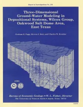
Publication Year
1983
Publisher
Series
Report of Investigations
Abstract
A three-dimensional model was constructed of ground-water flow in the Wilcox-Carrizo aquifer system near Oakwood salt dome to facilitate understanding the hydrogeology around salt domes of the Gulf interior region and ultimately to evaluate the hydrologic suitability of Oakwood Dome for storage of high-level nuclear waste. The data base includes not only measurements of hydraulic head and hydraulic conductivity but also lithofacies maps constructed in a previous study of Wilcox depositional systems.