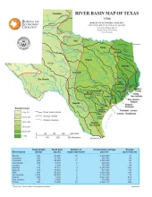
Publication Year
1996
Publisher
Series
Thematic Maps
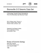
Publication Year
1996
Publisher
Series
Seminars and Workshops
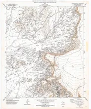
Publication Year
1996
Publisher
Series
Open-File Map
Publication Year
1995
Publisher
Series
Texas Memorial Museum
Publication Year
1995
Series
Gulf Coast Association of Geological Societies