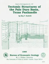
The Palo Duro Basin is a broad structural low in the southern Texas Panhandle that formed as a result of nearly continuous Pennsylvanian and Permian subsidence. True complexity of this basin is unknown because of the sparsity of structural information. However, surface and subsurface studies, including examinations of outcrop, well log, and seismic reflection data, indicate that structures within and adjoining the basin consist primarily of small, fault-bounded, isolated, positive basement areas and poorly defined subbasins.
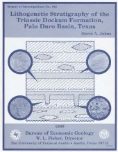
Four clastic depositional sequences compose the lower part of the Triassic Dockum Formation in the Palo Duro Basin. Each sequence consists of a basal interbedded mudstone and interbedded siltstone succession overlain by an upper succession of sandstone containing minor conglomerate, siltstone, and mudstone beds. Regional cross sections indicate that the lower parts of sequences typically thicken basinward, whereas the upper sandy partsnbecome more discontinuous basinward and upsection.
Organic petrological, organic geochemical, and chemical analyses of Tertiary (Paleocene to Eocene) coals (to a 2,000-ft [610-m] depth) from the Wilcox, Claiborne, and Jackson Groups of Texas reveal characteristic properties of these coals. Most of the Wilcox, Claiborne (one sample), and Jackson coals contain greater amounts of liptinite (especially fine-grained liptodetrinite) than do average humic coals. These liptinites can be identified only by blue-light excitation in reflected-light microscopy.
Cretaceous sedimentary rocks and Tertiary intrusive, extrusive, and volcaniclastic rocks dominate the geology of the Hen Egg Mountain and Christmas Mountains quadrangles in the Big Bend region of Texas. The Cretaceous rocks consist of limestones, shales, mudstones, and sandstones that are host rocks for the Tertiary intrusions.This report focuses on the Tertiary intrusive and extrusive rocks. The intrusions were emplaced in several distinct intervals between 47 and 20 Ma ago (Eocene to Miocene) but are dominantly 44 to 40 Ma old.

