Annual report for the Bureau of Economic Geology 1995
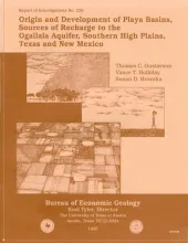
More than 20,000 playa basins have formed on the Southern High Plains of Texas and New Mexico. These small, internally drained, roughly circular to oval depressions are economically important because they collect runoff and focus recharge to the Ogallala aquifer, which is the primary domestic and agricultural source of water on the Southern High Plains.Across the High Plains, playa basins vary greatly in size and depth, both of which, we found, are largely controlled by the texture of the sediments that host playa basins.
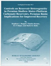
Shallow-water-platform carbonate reservoirs of Permian age have accounted for more than half of the oil production in the Permian Basin, one of the largest oil-producing regions in the United States. Despite more than 70 yr of production, including advanced primary and secondary development, however, these reservoirs still contain as much as two-thirds of the original oil in place. This low recovery efficiency is linked to an incomplete understanding of the geological and petrophysical heterogeneities of these reservoirs and their controls on fluid flow in the subsurface.
This study offers a high-frequency sequence stratigraphic model of carbonate-ramp strata of the San Andres Formation. It also documents, at the cycle scale, the inner-ramp through outer-ramp portions of three high-frequency sequences and describes and maps carbonate facies within a high-frequency sequence framework.