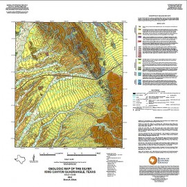
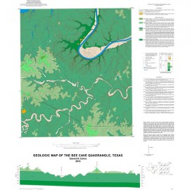
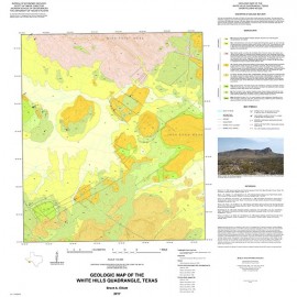
STATEMAP Project Maps
-
Books & Reports
- Reports of Investigations
- Guidebooks
- Udden Series
- Geological Circulars
- Down To Earth
- Atlases of Major Oil and Gas Reservoirs
- Texas Memorial Museum Publications
- Environmental Geologic Atlas of the Texas Coastal Zone
- Mineral Resource Circulars
- Other Reports
- Seminars and Workshops
- Handbooks
- Submerged Lands of Texas
- Symposia
- Annual Reports
- Open File Reports
-
Maps & Cross Sections
- Thematic Maps
- Miscellaneous Maps, Charts & Sections
- Geologic Atlas of Texas
- STATEMAP Project Maps
- Geologic Quadrangle Maps
- Cross Sections
- Highway Geology Map
- Energy and Mineral Resource Maps
- Shoreline Change and Other Posters
- Wilcox Group, East Texas, Geological / Hydrological Folios
- Bouguer Gravity Atlas of Texas
- River Basin Regional Studies
- Featured Maps
- Posters
- Teachers & the Public
-
Geological Society Publications
- Gulf Coast Association of Geological Societies
- Alabama Geological Society
- Austin Geological Society
- Corpus Christi Geological Society
- Houston Geological Society
- Lafayette Geological Society
- Mississippi Geological Society
- New Orleans Geological Society
- South Texas Geological Society
- GCS SEPM Publications
- Historic BEG & UT Series


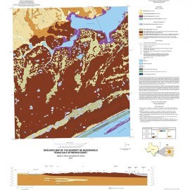
OFM0234. Geologic Map of the Kamey Quadrangle, Texas Gulf of Mexico Coast, by J. G. Paine, E. W. Collins, and Lucy Costard. Paper format, 2 sheets. 2018. Sheet 1- Map, scale 1:24,000; Sheet 2 - Digital elevation model, time-domain electromagnetic induction soundings, and frequency-domain electromagnetic induction measurements. To purchase this publication as a downloadable PDF, please order OFM0234D.
About This Publication
This map illustrates the geology of the area along the northwest margin of Lavaca Bay. Here, deltas of Garcitas and Placedo Creeks are prograding into Lavaca Bay. Geology of the area consists of sediments deposited within a Pleistocene fluvial–deltaic system, and Holocene bay–estuary and fluvial–deltaic systems. Pleistocene deposits represent Beaumont fluvial–deltaic deposition that lie about 10 mi northwest (landward) of Pleistocene barrier deposits. A large Pleistocene sand-rich, fluvial-channel system of the Beaumont Formation lies across the area. Holocene deposits include a variety of deposits: alluvium, terrace, levee, abandoned-channel, bay margin, bay-margin beach, and delta plain.
Keywords: maps, geologic maps, Calhoun County, Jackson County, Victoria County, Kamey area, Gulf of Mexico coast, Texas
Citation
Paine, J. G., Collins, E. W., and Costard, Lucy, 2018, Geologic Map of the Kamey Quadrangle, Texas Gulf of Mexico Coast: The University of Texas at Austin, Bureau of Economic Geology, Open-File Map No. 234, 2 sheets. Sheet 1 scale 1:24,000; Sheet 2, Digital elevation model, time-domain electromagnetic induction soundings, and frequency-domain electromagnetic induction measurements.