Oversized posters on various topics and in various sizes
Posters
-
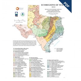
Ecoregions of Texas Poster. Digital Download Ecoregions of Texas Poster. Digital Download
$0.00Ecoregions of Texas, Poster, showing the Texas part of the national Ecoregions map, 2010. Digital Version.For a print version: SM0013P. Ecoregions of Texas, Poster, showing...
In Stock -
Ecoregions of Texas Poster Ecoregions of Texas Poster
$20.00Ecoregions of Texas, Poster, showing the Texas part of the national Ecoregions map, 2010. Print Version.For a downloadable, digital version: SM0013PD. Ecoregions of Texas, Poster, showing...
In Stock -
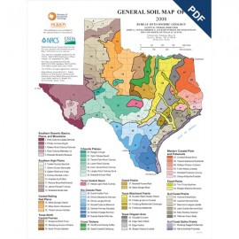
General Soil Map of Texas Poster. Digital... General Soil Map of Texas Poster. Digital...
$0.00General Soil Map of Texas, Poster, 2008. Digital Version.For a print version: SM0012P. General Soil Map of Texas, Poster,...
In Stock -
General Soil Map of Texas Poster General Soil Map of Texas Poster
$20.00General Soil Map of Texas, Poster, 2008. Print Version.For a downloadable, digital version: SM0012PD. General Soil Map of Texas, Poster,...
In Stock -
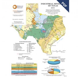
Industrial Minerals of Texas Poster.... Industrial Minerals of Texas Poster....
$0.00Industrial Minerals of Texas, Poster, compiled by J. R. Kyle. Poster showing generalized locations of various industrial minerals of Texas, 2018. Digital Version.For a print version: SM0011P. Industrial Minerals of Texas, Poster,...
In Stock -
Industrial Minerals of Texas Poster Industrial Minerals of Texas Poster
$20.00Industrial Minerals of Texas, Poster, compiled by J. R. Kyle. Poster showing generalized locations of various industrial minerals of Texas, 2018. Print Version.For a downloadable, digital version: SM0011PD. Industrial Minerals of Texas, Poster,...
In Stock -
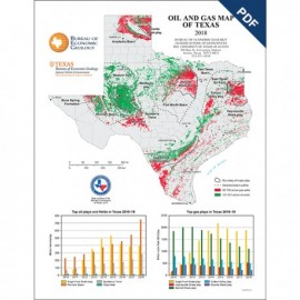
Oil and Gas Map of Texas Poster. Digital... Oil and Gas Map of Texas Poster. Digital...
$0.00Oil and Gas Map of Texas, Poster, shows generalized statewide distribution of oil and gas in the state as of 2018. Digital Version.For a print version: SM0010P. Oil and Gas Map of Texas, Poster,...
In Stock -
Oil and Gas Map of Texas Poster Oil and Gas Map of Texas Poster
$20.00Oil and Gas Map of Texas, Poster, shows generalized statewide distribution of oil and gas in the state as of 2018. Print Version.For a downloadable, digital version: SM0010PD. Oil and Gas Map of Texas, Poster,...
In Stock -
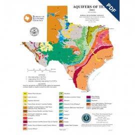
Aquifers of Texas Poster. Digital Download Aquifers of Texas Poster. Digital Download
$0.00Aquifers of Texas, Poster. Digital Version.For a print version: SM0009P. Aquifers of Texas, Poster. Digital...
In Stock -
Aquifers of Texas Poster Aquifers of Texas Poster
$20.00Aquifers of Texas, Poster, 2001. Print Version.For a downloadable, digital version: SM0009PD. Aquifers of Texas, Poster, 2001....
In Stock -
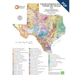
Vegetation/Cover Types of Texas Poster.... Vegetation/Cover Types of Texas Poster....
$0.00Vegetation/Cover Types of Texas, by R. G. Frye, K. L. Brown, and C. A. McMahan, Poster, 2000. Digital Version.For a print version: SM0008P. Vegetation/Cover Types of Texas, by...
In Stock -
Vegetation/Cover Types of Texas Poster Vegetation/Cover Types of Texas Poster
$20.00Vegetation/Cover Types of Texas, by R. G. Frye, K. L. Brown, and C. A. McMahan, Poster, 2000. Print Version.For a downloadable, digital version: SM0008PD. Vegetation/Cover Types of Texas, by...
Out of stock
