STATEMAP Project Maps
-
Books & Reports
- Reports of Investigations
- Guidebooks
- Udden Series
- Geological Circulars
- Down To Earth
- Atlases of Major Oil and Gas Reservoirs
- Texas Memorial Museum Publications
- Environmental Geologic Atlas of the Texas Coastal Zone
- Mineral Resource Circulars
- Other Reports
- Seminars and Workshops
- Handbooks
- Submerged Lands of Texas
- Symposia
- Annual Reports
- Open File Reports
-
Maps & Cross Sections
- Thematic Maps
- Miscellaneous Maps, Charts & Sections
- Geologic Atlas of Texas
- STATEMAP Project Maps
- Geologic Quadrangle Maps
- Cross Sections
- Highway Geology Map
- Energy and Mineral Resource Maps
- Shoreline Change and Other Posters
- Wilcox Group, East Texas, Geological / Hydrological Folios
- Bouguer Gravity Atlas of Texas
- River Basin Regional Studies
- Featured Maps
- Posters
- Teachers & the Public
-
Geological Society Publications
- Gulf Coast Association of Geological Societies
- Alabama Geological Society
- Austin Geological Society
- Corpus Christi Geological Society
- Houston Geological Society
- Lafayette Geological Society
- Mississippi Geological Society
- New Orleans Geological Society
- South Texas Geological Society
- GCS SEPM Publications
- Historic BEG & UT Series


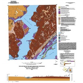
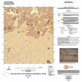
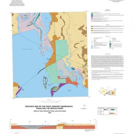
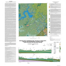
OFM0222. Geologic Map of the Silver King Canyon Quadrangle, Texas, by B. A. Elliott. Oversize geologic map on a color topographic base, map scale 1:24,000, 2015. Paper map. For a downloadable PDF: OFM0222D.
About This Publication
This map is one of several 1:24,000-scale maps of the Trans-Pecos region, focusing on mineral resources associated with Tertiary intrusive and
volcanic rocks of West Texas. Maps of this region provide a basic geologic framework to aid in managing water and earth resources; planning land use; and identifying sources of rare earth elements, precious and base metals, uranium, thorium, fluorine, beryllium, and other earth resources.
This study area covers the Paleozoic and Mesozoic rocks of the MaloneHills and Tertiary volcanic rocks south of the Sierra Blanca peak, including the volcanic caldera intrusive rocks of the Quitman Mountains and the Square Peak volcanic series. Igneous rocks in the map area intrude and overlie the Bluff Mesa limestone, Torcer Formation, Yucca Formation, and Malone Formation stratigraphies. The Tertiary intrusive and volcanic rocks provide excellent potential for hydrothermal mineral resource formation, skarn development, and magmatic ore resources in West Texas.
Keywords: maps, geologic maps, Silver King Canyon Quadrangle, Texas
Citation
Elliott, B. A., 2015, Geologic Map of the Silver King Canyon Quadrangle, Texas: The University of Texas at Austin, Bureau of Economic Geology, Open-File Map No. 222, map scale 1:24,000.