Specialized maps and charts covering a wide variety of topics and areas including historic Texas geological maps, Enchanted Rock, Big Bend National Park, Lake Travis, and more.
Miscellaneous Maps, Charts & Sections
-
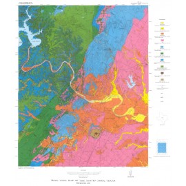
Rock-type Map of the Austin Area Rock-type Map of the Austin Area
$5.00Rock-type Map of the Austin area, Plate I of RI 86, by L.E. Garner. Print Rock-type Map of the Austin area,...
In Stock -
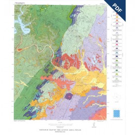
Geologic Map of the Austin Area, Texas.... Geologic Map of the Austin Area, Texas....
$5.00Geologic Map of the Austin Area, Color map, Plate VII of RI 86, by L.E. Garner. Digital Version.For a print version: RX0001. Geologic Map of the Austin Area,...
In Stock -
Geologic Map of the Austin Area, Texas Geologic Map of the Austin Area, Texas
$5.00Geologic Map of the Austin Area, Color map, Plate VII of RI 86, by L.E. Garner. Print Version.For a downloadable, digital version: RX0001D. Geologic Map of the Austin Area,...
In Stock -
Geology of the Lower Lake Travis and Lake... Geology of the Lower Lake Travis and Lake...
$10.00Geology of the Lower Lake Travis and Lake Austin Vicinity, Texas, by C. M. Woodruff, Jr., and E. W. Collins. Digital Version.For a print version: MM0053. Geology of the Lower Lake Travis and...
In Stock -
Geology of the Lower Lake Travis and Lake... Geology of the Lower Lake Travis and Lake...
$18.00Geology of the Lower Lake Travis and Lake Austin Vicinity, Texas, by C. M. Woodruff, Jr., and E. W. Collins. Oversize color map on a topographic base, map scale 1:50,000, and accompanying 13-page text booklet, 2019. Print Version.For a downloadable, digital version: MM0053D. Geology of the Lower Lake Travis and...
In Stock -
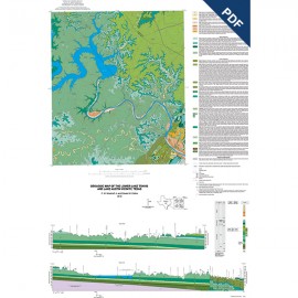
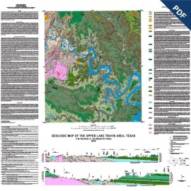
Upper Lake Travis Area, Texas. Digital... Upper Lake Travis Area, Texas. Digital...
$10.00Geologic Map of the Upper Lake Travis Area, Texas, by C. M. Woodruff, Jr., and E. W. Collins. Oversize color geologic map on topographic base, scale 1:50,000, 2016. Digital Version.For a print version: MM0052. Geologic Map of the Upper Lake Travis...
In Stock -
Upper Lake Travis area, Texas Upper Lake Travis area, Texas
$18.00Geologic Map of the Upper Lake Travis Area, Texas, by C. M. Woodruff, Jr., and E. W. Collins. Oversize color geologic map on topographic base, scale 1:50,000, 2016. Print Version.For a downloadable, digital version: MM0052D. Geologic Map of the Upper Lake Travis...
In Stock -
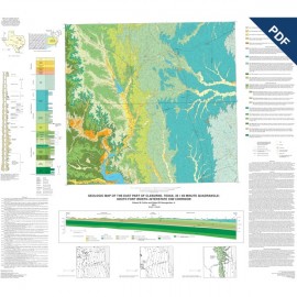
East Part of Cleburne Texas, 30 x 60... East Part of Cleburne Texas, 30 x 60...
$10.00Geologic Map of the East Part of Cleburne, Texas, 30 x 60 Minute Quadrangle: South Fort Worth--Interstate 35W Corridor, by E. W. Collins and R. W. Baumgardner, Jr. Oversize color map, scale 1:100,000, 2011. Digital Version.For a print version: MM0051. Geologic Map of the East Part of...
In Stock -
East Part of Cleburne, Texas, 30 x 60... East Part of Cleburne, Texas, 30 x 60...
$16.00Geologic Map of the East Part of Cleburne, Texas, 30 x 60 Minute Quadrangle: South Fort Worth -- Interstate 35W Corridor, by E. W. Collins and R. W. Baumgardner, Jr. Oversize color map, scale 1:100,000, 2011. Print Version.For a downloadable, digital version: MM0051D. Geologic Map of the East Part of...
In Stock -
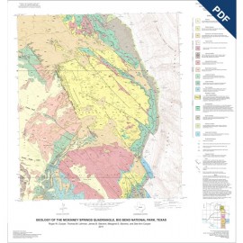
Geologic Maps of the Upper Cretaceous and... Geologic Maps of the Upper Cretaceous and...
$10.00Geologic Maps of the Upper Cretaceous and Tertiary Strata, Big Bend National Park, Texas. R. W. Cooper, Coordinator. Five oversize color map sheets and one cross section sheet (scale 1:24,000), 2011. Digital Version.For a print version: MM0050. Geologic Maps of the Upper Cretaceous...
In Stock -
Geologic Maps of the Upper Cretaceous and... Geologic Maps of the Upper Cretaceous and...
$48.00Geologic Maps of the Upper Cretaceous and Tertiary Strata, Big Bend National Park, Texas. R. W. Cooper, Coordinator. Five oversize color map sheets and one cross section sheet (scale 1:24,000), 2011. Print Version.For a downloadable, digital version: MM0050D. Geologic Maps of the Upper Cretaceous...
In Stock -
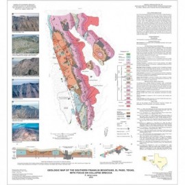
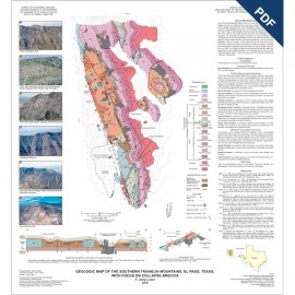
Southern Franklin Mountains, El Paso,... Southern Franklin Mountains, El Paso,...
$10.00Geologic Map of the Southern Franklin Mountains, El Paso, Texas, with Focus on Collapse Breccias, by F. J. Lucia. 2011. Oversized color map, scale 1:100,000. Includes color photos. Digital Version.For a print version: MM0049. Geologic Map of the Southern Franklin...
In Stock
