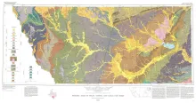
Oversize color geologic map that depicts surface geology of Dimmit, LaSalle, and McMullen Counties and parts of Maverick, Zavala, Frio, Atascosa, Karnes, Wilson, Live Oak, Jim Wells, Duval, and Webb Counties, Texas. The 6-page booklet indicates geologic formations, abbreviations, and ages.
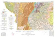
Geologic map that depicts the surface geology of parts of Webb, Duval, Jim Wells, Kleberg, Brooks, Jim Hogg, and Zapata Counties
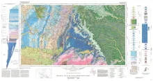
Geologic map that depicts the surface geology of Mills County and parts of Runnels, Coleman, Brown, Comanche, Erath, Hamilton, Coryell, Lampasas, San Saba, McCulloch, Concho, and Menard Counties. The 21-page booklet indicates geologic formations, abbreviations, and ages.
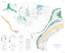
This large-scale map of Texas displays the full range and scope of energy resources in the State. Oil and gas fields are shown according to the age of the producing reservoir. Lignite resources, both near surface and deep basin, are delineated as are the outcrops of bituminous coal-bearinq strata. Sites of old coal mines, uranium mines, potential geothermal resources, and potential oil shale resources are also shown. Resource-distribution systems noted on the map include railroads, principal highways, waterways.