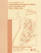
Lineament analysis was used to study the relationship between subsurface structure and surficial features in East Texas, southeastern Oklahoma, southwestern Arkansas, and northwestern Louisiana-areas of low topographic relief, moderate vegetation cover, and diverse land use. More than 2,200 lineaments were mapped from four standard 1:250,000-scale Landsat Thematic Mapper images. Operator error and data-base variation were evaluated in areas of sidelap between adjacent images.
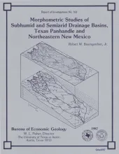
Data from five drainage basins in the Texas Panhandle and northeastern New Mexico characterize the recent history of regional drainage basin formation and landscape development around the margins of the Southern High Plains. Because stream flow records for most streams in the area are only available for the last 15 yr, morphometric (shape) measurements are used to obtain a long-term, basinwide view of the geomorphic history of these watersheds.
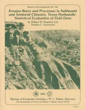
Since 1978, six climate- and erosion-monitoring stations on slopes in draws and large playa lake basins in the interior of the Southern High Plains and slopes along the Caprock Escarpment in the Rolling Plains of the Texas Panhandle have recorded precipitation amount and intensity, air and soil temperature, soil electrical resistance (soil moisture), slope erosion and deposition, and slope and stream headcut retreat. Stations are located in areas of active erosion.
The State-owned submerged lands of Texas encompass almost 6,000 mi2 (15,540 km2). They lie below waters of the bay-estuary-lagoon system and the Gulf of Mexico and extend 10.3 mi (16.6 km) seaward from the Gulf shoreline (fig. 1). The importance of these lands and their resources to resident flora and fauna as well as to people is well known and documented; more than one-third of the state's population is concentrated within an area of the Coastal Zone that is only about one-sixteenth of the state's land area.