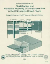
Field studies and numerical modeling were used to evaluate hydraulic controls on unsaturated flow in the Chihuahuan Desert of Texas. These studies were part of a program to characterize a site for a proposed low-level radioactive waste disposal facility. The study area was instrumented with neutron-probe access tubes to monitor moisture content and with thermocouple psychrometers to monitor water potential. The absence of temporal variations in moisture content monitored in deep (41 m) profiles indicated that water pulses are not moving through the system.
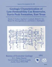
The Lower Cretaceous Travis Peak Formation contains an estimated 6.4 trillion cubic feet (Tcf) of gas in place in East Texas and North Louisiana. Advanced technology will be needed to maximize recovery from this low-permeability ("tight") gas sandstone. This report focuses on the contribution of geology to understanding and efficiently developing the complex gas reservoirs in the Travis Peak Formation in East Texas.
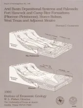
The Hueco Bolson is a segment of the Rio Grande Rift that formed as a result of late Tertiary Basin and Range deformation. The upper Tertiary Fort Hancock Formation and the upper Tertiary-Quaternary Camp Rice Formation compose the basin fill except in the deepest (western) parts of the bolson. Five lithofacies form the Fort Hancock Formation: (I) gravel; (II) sand, sandy mud or sandy silt, and gravel; (III) sand, sandy mud, and sandy silt; (IV) clay and sandy clay; and (V) clay, mud, sandy mud, and gypsum.
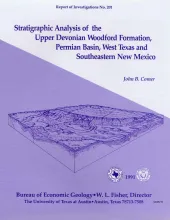
The Upper Devonian Woodford Formation is an organic-rich petroleum source rock that extends throughout West Texas and southeastern New Mexico and currently is generating oil or gas in the subsurface. The Woodford is a potential hydrocarbon reservoir in areas where it is highly fractured; the most favorable drilling targets are fractured siltstone or chert beds in densely faulted regions such as the Central Basin Platform, southernmost Midland Basin, and parts of the Northwestern Shelf.
Since 1979, the U.S. Geological Survey (USGS) has funded cooperative programs with coal-bearing states in an effort to provide current U.S. coal resource estimates that are calculated by uniform, computerized methods. As part of this program, near-surface lignite resources in Texas were estimated using the National Coal Resources Data System (NCRDS) and three software programs: PACER, VLATLONG, and GARNET. Resources of the aggregate coal in each borehole were calculated using the total-coal method.