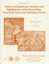
The Hueco Basin of Trans-Pecos Texas, which formed in response to Cenozoic extensional tectonism, lies within the southern Rio Grande rift near the poorly defined boundary between the rift and the southern Basin and Range province. Subsurface data, including proprietary seismic lines, were studied in conjunction with aerial-photo and surface geologic mapping to determine the basin's structure and fault history. These data were also studied to evaluate the seismic risk of the basin and to consider it as a possible repository of low-level radioactive waste.
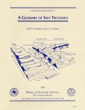
In response to a need for a concise presentation of new terms and concepts in salt tectonics, we have compiled a glossary that focuses on ideas developed during the 1980's. Unlike conventional glossaries, ours is conceptual rather than alphabetical; each term is defined in the context of preceding terms. When known, the first paper to define or develop a new term has been cited. The purpose of this glossary is to promote a common language for salt tectonics, so that terminology and concepts will be better understood and so that the discipline will continue to develop.
In mature sedimentary basins, where mechanical compaction is negligible, the hydrodynamics is typically described by steady-state flow driven by potential energy represented by the water table, which generally follows the topography.