Publication Year
1995
Publisher
Series
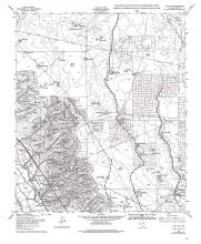
Open-File Map
Publication Year
1995
Publisher
Series
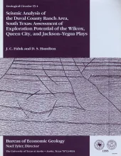
Geological Circular
Abstract
Potential for commercial hydrocarbon accumulations in Eocene and older strata of the Duval County Ranch in South Texas was assessed using seismic data. Three seismic facies are recognized and tied to well control. Seismic facies 1 has low- amplitude, continuous seismic reflections; seismic facies 2 has short, discontinuous, high-amplitude reflections; and seismic facies 3 has long, continuous, intermediate to high-amplitude reflections.

Publication Year
1995
Publisher
Series
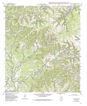
Open-File Map
Publication Year
1995
Publisher
Series
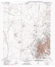
Open-File Map
Publication Year
1995
Publisher
Series
Open-File Map