Publication Year
1995
Publisher
Series
Open-File Map
Publication Year
1995
Publisher
Series
Open-File Map
Publication Year
1995
Publisher
Series
Selected Reports
Abstract
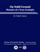
In his memoirs, Virgil Barnes recounts highlights of his life and career in entertaining detail: his childhood in Washington; his worldwide travels in search of tektites, accompanied by his wife, Milla; and his geological mapping and other research during his 58 years at the Bureau of Economic Geology and in retirement. Barnes began his long and prolific career at the Bureau in 1935. He directed the mapping project that resulted in 38 Geologic Atlas of Texas sheets and the four-quadrant geologic map of the entire state of Texas.
Publication Year
1995
Publisher
Series
Open-File Map

Publication Year
1995
Publisher
Series
Open-File Map