Specialized maps and charts covering a wide variety of topics and areas including historic Texas geological maps, Enchanted Rock, Big Bend National Park, Lake Travis, and more.
Miscellaneous Maps, Charts & Sections
-
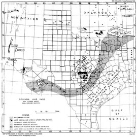
Paleozoic of Ouachita Facies in Texas Paleozoic of Ouachita Facies in Texas
$10.00Paleozoic of Ouachita Facies in Texas, by E. H. Sellards. Blueline. 1932. Print Version.For a downloadable, digital version: MM0023D. Paleozoic of Ouachita Facies in...
In Stock -
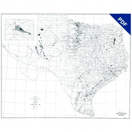
Oil, Gas, and Distillate Field Map of... Oil, Gas, and Distillate Field Map of...
$5.00Map of Oil, Gas, and Distillate Fields of Texas, December 1945. Digital Version. Map of Oil, Gas, and Distillate...
In Stock -
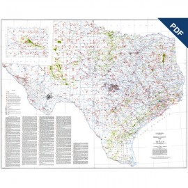
Mineral Locality Map of Texas. Digital... Mineral Locality Map of Texas. Digital...
$5.00Mineral Locality Map of Texas, by E. H. Sellards, G. L. Evans, and Leo Hendricks. 1943. Scale 1:1,000,000. Digital Version.For a print version: MM0020. Mineral Locality Map of Texas, by E....
In Stock -
Mineral Locality Map of Texas Mineral Locality Map of Texas
$20.00Mineral Locality Map of Texas, by E. H. Sellards, G. L. Evans, and Leo Hendricks. 1943. Scale 1:1,000,000. Print Version.For a downloadable, digital version: MM0020D. Mineral Locality Map of Texas, by E....
In Stock -
Geologic Map of Leon County. Digital Download Geologic Map of Leon County. Digital Download
$5.00Geologic Map of Leon County, by H. B. Stenzel. Scale 1 inch = 4,000 feet. 1938. Plate I of PB3818D. Digital Version.For a print version: MM0019. Geologic Map of Leon County, by H. B....
In Stock -
Geologic Map of Leon County Geologic Map of Leon County
$15.00Geologic Map of Leon County, by H. B. Stenzel. Scale 1 inch = 4,000 feet. 1938. Plate I of BL3818. Print Version.For a downloadable, digital version: MM0019D. Geologic Map of Leon County, by H. B....
This map is currently printed on demand. Please allow a few extra days for processing. -
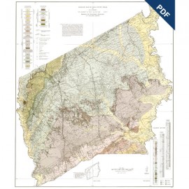
Houston County Geologic Maps. Digital... Houston County Geologic Maps. Digital...
$5.00Houston County Geologic Maps. Digital Version. Houston County Geologic Maps. Digital...
In Stock -
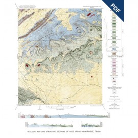
Geologic Map and Structure Sections of... Geologic Map and Structure Sections of...
$5.00Geologic Map and Structure Sections of Hood Spring Quadrangle, Texas, by R. W. Graves, Jr., 1954. Map scale 1:62,500. Plate I of RI0021. Digital Version.For a print version: MM0017. Geologic Map and Structure Sections...
In Stock -
Geologic Map and Structure Sections of... Geologic Map and Structure Sections of...
$10.00Geologic Map and Structure Sections of Hood Spring Quadrangle, Texas, by R. W. Graves, Jr., 1954. Plate I of RI0021. Map scale 1:62,500. Print Version.For a downloadable, digital version: MM0017D. Geologic Map and Structure Sections...
In Stock -
Geologic Maps, Central Texas (selected... Geologic Maps, Central Texas (selected...
$10.00Geologic Maps, Central Texas (selected areas), 1957 and 1959. Set of all 14 maps. Digital Version. Geologic Maps, Central Texas...
In Stock -
Spicewood (Hays and Travis Counties).... Spicewood (Hays and Travis Counties)....
$5.00Spicewood (Hays and Travis Counties). Digital Version. Spicewood (Hays and Travis Counties)....
In Stock -
Smithson Valley (Comal County). Digital... Smithson Valley (Comal County). Digital...
$5.00Smithson Valley (Comal County). Digital Version. Smithson Valley (Comal County)....
In Stock
