Miscellaneous Maps, Charts & Sections
-
Books & Reports
- Reports of Investigations
- Guidebooks
- Udden Series
- Geological Circulars
- Down To Earth
- Atlases of Major Oil and Gas Reservoirs
- Texas Memorial Museum Publications
- Environmental Geologic Atlas of the Texas Coastal Zone
- Mineral Resource Circulars
- Other Reports
- Seminars and Workshops
- Handbooks
- Submerged Lands of Texas
- Symposia
- Annual Reports
- Open File Reports
-
Maps & Cross Sections
- Thematic Maps
- Miscellaneous Maps, Charts & Sections
- Geologic Atlas of Texas
- STATEMAP Project Maps
- Geologic Quadrangle Maps
- Cross Sections
- Highway Geology Map
- Energy and Mineral Resource Maps
- Shoreline Change and Other Posters
- Wilcox Group, East Texas, Geological / Hydrological Folios
- Bouguer Gravity Atlas of Texas
- River Basin Regional Studies
- Featured Maps
- Posters
- Teachers & the Public
-
Geological Society Publications
- Gulf Coast Association of Geological Societies
- Alabama Geological Society
- Austin Geological Society
- Corpus Christi Geological Society
- Houston Geological Society
- Lafayette Geological Society
- Mississippi Geological Society
- New Orleans Geological Society
- South Texas Geological Society
- GCS SEPM Publications
- Historic BEG & UT Series
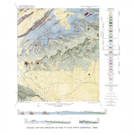
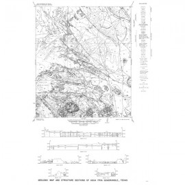
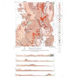
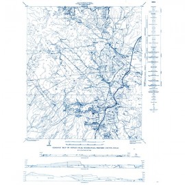
MM0017. Geologic Map and Structure Sections of Hood Spring Quadrangle, Texas, by R. W. Graves, Jr., 1954. Plate I of RI0021. Map scale 1:62,500.
To purchase this publication as a PDF download, please order MM0017D.
Keywords: maps, geologic maps, Hood Spring quadrangle, Brewster County, Texas, West Texas
Citation
Graves, R. W., Jr., 1954, Geologic Map and Structure Sections of Hood Spring Quadrangle, Texas: The University of Texas at Austin, Bureau of Economic Geology, Miscellaneous Map No. 17, map scale 1:62,500.

