Specialized maps and charts covering a wide variety of topics and areas including historic Texas geological maps, Enchanted Rock, Big Bend National Park, Lake Travis, and more.
Miscellaneous Maps, Charts & Sections
-
Cambrian, Devonian, Upper, Middle, and... Cambrian, Devonian, Upper, Middle, and...
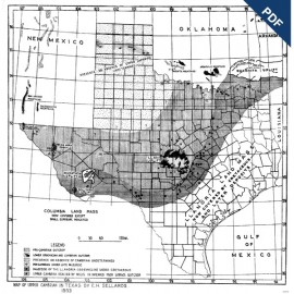
$10.00Cambrian; Devonian; Upper, Middle, and Lower Ordovician; and Silurian Formations in Texas, by E. H. Sellards, 1938. Scale 1 inch = 40 miles. Digital Version.For a print version: MM0002. Cambrian; Devonian; Upper, Middle,...
In Stock -
Cambrian, Devonian, Upper, Middle, and... Cambrian, Devonian, Upper, Middle, and...
$50.00Cambrian; Devonian; Upper, Middle, and Lower Ordovician; and Silurian Formations in Texas, by E. H. Sellards, 1938. Scale 1 inch = 40 miles. Print Version.For a downloadable, digital version: MM0002D. Cambrian; Devonian; Upper, Middle,...
In Stock -
Agua Fria Quadrangle, Brewster County.... Agua Fria Quadrangle, Brewster County....
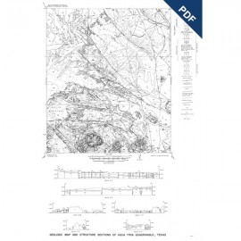
$5.00Geologic Map and Structure of the Agua Fria Quadrangle, Brewster County, by C. G. Moon. Manuscript geologic map, scale 1:62,500. Digital Version.For a print version: MM0001. Geologic Map and Structure of the...
In Stock -
Agua Fria Quadrangle, Brewster County Agua Fria Quadrangle, Brewster County
$15.00Geologic Map and Structure of the Agua Fria Quadrangle, Brewster County, by C. G. Moon. Manuscript geologic map, scale 1:62,500, 1951. Print Version.For a downloadable, digital version: MM0001D. Geologic Map and Structure of the...
In Stock -
Geologic Map of Texas, 1916 Geologic Map of Texas, 1916
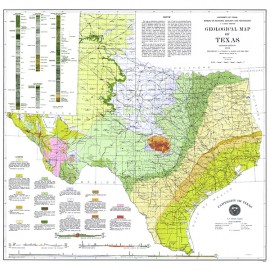
$11.00Geology of Texas Map, 1916, by J. A. Udden, C. L. Baker, and Emil Böse, Scale 1:1,500,000. Approx. 33in x 33in. Print Geology of Texas Map, 1916, by J. A....
In Stock


