Miscellaneous Maps, Charts & Sections
-
Books & Reports
- Reports of Investigations
- Guidebooks
- Udden Series
- Geological Circulars
- Down To Earth
- Atlases of Major Oil and Gas Reservoirs
- Texas Memorial Museum Publications
- Environmental Geologic Atlas of the Texas Coastal Zone
- Mineral Resource Circulars
- Other Reports
- Seminars and Workshops
- Handbooks
- Submerged Lands of Texas
- Symposia
- Annual Reports
- Open File Reports
-
Maps & Cross Sections
- Thematic Maps
- Miscellaneous Maps, Charts & Sections
- Geologic Atlas of Texas
- STATEMAP Project Maps
- Geologic Quadrangle Maps
- Cross Sections
- Highway Geology Map
- Energy and Mineral Resource Maps
- Shoreline Change and Other Posters
- Wilcox Group, East Texas, Geological / Hydrological Folios
- Bouguer Gravity Atlas of Texas
- River Basin Regional Studies
- Featured Maps
- Posters
- Teachers & the Public
-
Geological Society Publications
- Gulf Coast Association of Geological Societies
- Alabama Geological Society
- Austin Geological Society
- Corpus Christi Geological Society
- Houston Geological Society
- Lafayette Geological Society
- Mississippi Geological Society
- New Orleans Geological Society
- South Texas Geological Society
- GCS SEPM Publications
- Historic BEG & UT Series

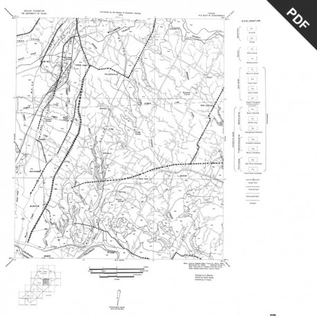
Geologic Maps, Central Texas (selected areas). Set of all 14 maps. Digital Download
MM0016D
MM0016D. Geologic Maps, Central Texas (selected areas), 1957 and 1959. Set of all 14 maps. Downloadable only.
About This Publication
Fourteen black-and-white geologic maps prepared in 1957 and 1959 and obtained from the Department of Geological Sciences, University of Texas, and sold by the Bureau of Economic Geology. Geology compiled by F. L. Whitney; drafted by S. Espey, W. M. Strong, or W. L. Brooks; edited by K. P. Young. Scale 1 inch equals 1 mile. Fourteen maps, as a downloadable PDF (zip file).
MM0016-A-Austin, NE (Travis and Williamson Counties)
MM0016-B-Austin, SW (Hays and Travis Counties)
MM0016-C-Bastrop (Travis County section)
MM0016-D-Blanco, SE (Hays County)
MM0016-E-Blanco, SW (Hays County)
MM0016-F-Boerne (Comal County section)
MM0016-G-Bracken (Comal County)
MM0016-H-Elgin (Travis and Williamson Counties)
MM0016-I-Hunter (Comal and Hays Counties)
MM0016-J-Leon Springs (Comal County section)
MM0016-K-New Braunfels (Comal County)
MM0016-L-San Marcos, NW (Hays County)
MM0016-M-Smithson Valley (Comal County)
MM0016-N-Spicewood (Hays and Travis Counties)
Keywords: maps, geologic maps, quadrangle maps, Comal County, Hays County, Travis County, Williamson County, Texas
