Specialized maps and charts covering a wide variety of topics and areas including historic Texas geological maps, Enchanted Rock, Big Bend National Park, Lake Travis, and more.
Miscellaneous Maps, Charts & Sections
-
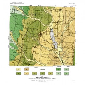
Geologic Map of Denton County, Texas Geologic Map of Denton County, Texas
$10.00Geologic Map of Denton County, Texas, by W. M. Winton and J. B. Hawley, 1925. Plate I of BL2544. Print Version.For a downloadable, digital version: MM0009D. Geologic Map of Denton County, Texas,...
In Stock -
Selected Texas County Maps, 1929-1937.... Selected Texas County Maps, 1929-1937....
$10.00Selected Texas County Maps, 1929-1937. Digital Version Selected Texas County Maps,...
In Stock -
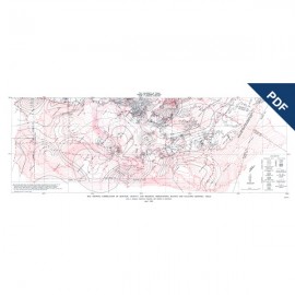
Map Showing...Geologic, Gravity, and... Map Showing...Geologic, Gravity, and...
$5.00Map Showing Correlation of Geologic, Gravity, and Magnetic Observations, Blanco and Gillespie Counties, Texas - Digital VersionDigital Version.For a print version: MM0007. Map Showing Correlation of Geologic,...
In Stock -
Map Showing Correlation of Geologic,... Map Showing Correlation of Geologic,...
$8.00Map Showing Correlation of Geologic, Gravity, and Magnetic Observations, Blanco and Gillespie Counties, Texas, by V. E. Barnes, F. E. Romberg, and W. A. Anderson. Scale 1 inch = 3 miles. 1955. Print Version.For a downloadable, digital version: MM0007D. Map Showing Correlation of Geologic,...
In Stock -
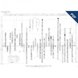
Correlation of Cambrian Rocks in Central... Correlation of Cambrian Rocks in Central...
$5.00Correlation of Cambrian Rocks in Central Texas, by V. E. Barnes. Chart. 1963. Digital Version.For a print version: MM0006. Correlation of Cambrian Rocks in...
In Stock -
Correlation of Cambrian Rocks in Central... Correlation of Cambrian Rocks in Central...
$15.00Correlation of Cambrian Rocks in Central Texas, by V. E. Barnes. Chart. 1963. Print Version.For a downloadable, digital version: MM0006D. Correlation of Cambrian Rocks in...
In Stock -
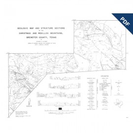
Geologic Map and Structure Sections of the... Geologic Map and Structure Sections of the...
$5.00Geologic Map and Structure Sections of the Christmas and Rosillos Mountains, Brewster County, Texas, by R. R. Bloomer. Manuscript geologic map, scale 1:49,600, drawn for reduction to 1:62,500. Digital Version.For a print version: MM0005. Geologic Map and Structure Sections...
In Stock -
Geologic Map and Structure Sections of the... Geologic Map and Structure Sections of the...
$15.00Geologic Map and Structure Sections of the Christmas and Rosillos Mountains, Brewster County, Texas, by R. R. Bloomer. Manuscript geologic map, scale 1:49,600, drawn for reduction to 1:62,500, 1951. Print Version.For a downloadable, digital version: MM0005D. Geologic Map and Structure Sections...
In Stock -
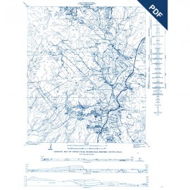
Geologic Map of Chinati Peak Quadrangle,... Geologic Map of Chinati Peak Quadrangle,...
$5.00Geologic Map of Chinati Peak Quadrangle, Presidio County, Texas, by C. C. Rix. Manuscript geologic map, scale 1:48,000, with structure sections, 1953. Digital Version.For a print version: MM0004. Geologic Map of Chinati Peak...
In Stock -
Geologic Map of Chinati Peak Quadrangle,... Geologic Map of Chinati Peak Quadrangle,...
$15.00Geologic Map of Chinati Peak Quadrangle, Presidio County, Texas, by C. C. Rix. Manuscript geologic map, scale 1:48,000, with structure sections, 1953. Print Version.For a downloadable, digital version: MM0004D. Geologic Map of Chinati Peak...
In Stock -
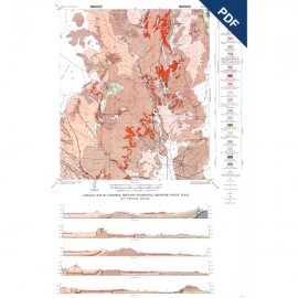
Geologic Map of Cathedral Mountain... Geologic Map of Cathedral Mountain...
$5.00Geologic Map of Cathedral Mountain Quadrangle, Brewster County, Texas, by W. N. McAnulty, Sr. Geologic map, scale 1:62,500, 1955. Digital Version.For a print version: MM0003. Geologic Map of Cathedral Mountain...
In Stock -
Cathedral Mountain Quadrangle, Brewster... Cathedral Mountain Quadrangle, Brewster...
$15.00Cathedral Mountain Quadrangle, Brewster County, Texas, by W. N. McAnulty, Sr. Geologic map, scale 1:62,500, 1955. Print Version.For a downloadable, digital version: MM0003D. Cathedral Mountain Quadrangle,...
In Stock
