Geological Circulars
-
Books & Reports
- Reports of Investigations
- Guidebooks
- Udden Series
- Geological Circulars
- Down To Earth
- Atlases of Major Oil and Gas Reservoirs
- Texas Memorial Museum Publications
- Environmental Geologic Atlas of the Texas Coastal Zone
- Mineral Resource Circulars
- Other Reports
- Seminars and Workshops
- Handbooks
- Submerged Lands of Texas
- Symposia
- Annual Reports
- Open File Reports
-
Maps & Cross Sections
- Thematic Maps
- Miscellaneous Maps, Charts & Sections
- Geologic Atlas of Texas
- STATEMAP Project Maps
- Geologic Quadrangle Maps
- Cross Sections
- Highway Geology Map
- Energy and Mineral Resource Maps
- Shoreline Change and Other Posters
- Wilcox Group, East Texas, Geological / Hydrological Folios
- Bouguer Gravity Atlas of Texas
- River Basin Regional Studies
- Featured Maps
- Posters
- Teachers & the Public
-
Geological Society Publications
- Gulf Coast Association of Geological Societies
- Alabama Geological Society
- Austin Geological Society
- Corpus Christi Geological Society
- Houston Geological Society
- Lafayette Geological Society
- Mississippi Geological Society
- New Orleans Geological Society
- South Texas Geological Society
- GCS SEPM Publications
- Historic BEG & UT Series
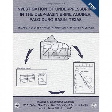
Investigation of Underpressuring in the Deep-Basin Brine Aquifer, Palo Duro Basin, Texas. Digital Download
GC8501D
For a print version: GC8501.
GC8501D. Investigation of Underpressuring in the Deep-Basin Brine Aquifer Palo Duro Basin, Texas, by E. D. Orr, C. W. Kreitler, and R. K. Senger. 44 p., 19 figs., 4 tables, 2 appendices, 1985. doi.org/10/23867/gc8501D. Downloadable PDF.
To purchase this publication in book format, please order GC8501.
ABSTRACT
Although plots of pressure versus depth are useful for understanding the hydrodynamics of ground-water systems, they can be difficult to interpret. Data plotted from a confined aquifer may reflect underpressuring because the aquifer is isolated from hydrostatically pressured aquifers (depth intercept is greater than zero) or because there is potential for downward flow within the aquifer (pressure-depth gradient is less than hydrostatic). However, even under hydrostatic conditions, apparent underpressuring and misleading vertical pressure gradients can be caused by lateral variations in the surface topography or in the structural dip or potentiometric surface of the aquifer. Pressure-depth plots for large regions may, therefore, exhibit misleading superposed trends. Poor data quality and distribution can also obscure true pressure-depth conditions.
In the regionally confined Deep-Basin Brine aquifer of the Palo Duro Basin, pressure-depth data from drill-stem tests (DST's) indicate underpressuring; data plot below an estimated brine hydrostatic gradient. Superposed contours of land-surface elevation and the structure of the Deep-Basin Brine aquifer delineate areas in which lateral changes in depth to the aquifer and to the aquifer's potentiometric surface are minimal. Pressure-depth plots for each area show the smallest effects of variations in the hydrogeologic setting and reveal that pressure-depth gradients and the potential for vertical flow vary across the basin. The effects of these variations were evaluated by computing pressure-depth data for flow parallel to the structural dip of the aquifer in each region. Comparison of regression lines through real pressure-depth data with those through computed data allows the distinction of true hydrologic conditions from the misleading effects of the hydrogeologic setting on pressure-depth plots.
Potential for upward flow exists near the western flanks of the Amarillo Uplift, whereas potential for downward flow exists in the southwestern and eastern parts of the basin. Although vertical flow volumes are a substantial part of the total flow volume in the aquifer-, regional flow patterns in the Deep-Basin Brine aquifer are dominated by horizontal flow components.
Keywords: Deep-Basin Brine aquifer, hydrogeology, Palo Duro Basin, radioactive waste repositories, Texas, underpressuring, vertical hydraulic gradients
Citation
Orr, E. D., Kreitler, C. W., and Senger, R. K., 1985, Investigation of Underpressuring in the Deep-Basin Brine Aquifer, Palo Duro Basin, Texas: The University of Texas at Austin, Bureau of Economic Geology, Geological Circular 85-1, 44 p. doi.org/10.23867/gc8501D.
