Annual report for the Bureau of Economic Geology 1987
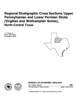
This cross section set comprises 14 dip (E-W) sections and 9 strike (N-S) stratigraphic cross sections (with text), correlating upper Pennsylvanian (Virgilian) and lower Permian (Wolfcampian) strata throughout the subsurface in all or parts of 28 counties of North-Central Texas. The cross-section network covers 22,000 square miles and was constructed by combining outcrop data with electric log data from 1,185 wells along 2,000 miles of cross sections to correlate about 20 limestone units.
San Andres and Grayburg reservoirs have yielded about 42 percent (9.8 billion barrels) of the total cumulative production of oil from the Permian Basin of West Texas. However, recovery efficiencies have been low, and significant quantities of mobile oil remain after primary and conventional secondary recovery. Major San Andres and Grayburg reservoirs, each of which has produced more than 10 million barrels, are estimated to contain 8.7 billion barrels of unrecovered mobile oil.