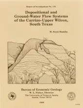
In the Rio Grande Embayment of South Texas, the Carrizo Formation (lower Eocene) consists of two sand-rich fluvial depositional systems that grade basinward into several deltaic complexes within the upper part of the Wilcox Group. Data from oil, gas, and water wells provide information on Carrizo fluvial and ground-water flow systems, and outcrop and core data help define component lithofacies.The bed-load channel system contains multistory, multilateral fluvial channel-fill sandstones deposited by broad, sand-rich, dominantly braided streams.
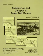
Subsidence at salt domes results from man-induced and natural removal of salt, cap rock, minerals within the cap rock, and supradomal fluids. In the Houston diaper province, Frasch sulfur mining as caused subsidence bowls and collapse sinkholes at 12 of the 14 sulfur productive domes. Vertical subsidence owing to sulfur mining exceeds 35 ft (11 m) at Boling and Orchard Domes. Aerial photography from 1941 to 1979 documents continuous enlargement of one subsidence feature at Orchard Dome at the lateral rate of approximately 3 acres/year (12,000 m2).
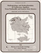
Cretaceous rocks in the Southern High Plains, traditionally considered to be part of the High Plains aquifer and recharged by the overlying Ogallala aquifer, actually contain three aquifers with different recharge sources. Two separate subcrop areas of Cretaceous rocks underlie the Ogallala Formation. These subcrops are composed of sandstones, limestones, and shales and have a total thickness of as much as 250 ft (76 m). Three aquifers, the Trinity sandstone, the Edwards limestone, and the Duck Creek – Kiamichi sandstones and limestones, were identified within the Cretaceous section.
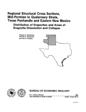
The Palo Duro Basin of the Texas Panhandle and eastern New Mexico contains bedded Permian salts of sufficient thickness and depth for the basin to be considered as a potential site for long-term storage and isolation of high-level nuclear waste. Salt (primarily halite) is a desirable host rock because of its low permeability, high thermal conductivity, low moisture content, and high gamma-ray shielding properties (Johnson, 1976b). A major concern that was addressed during the waste isolation study of the Texas Panhandle region is the long-term integrity of the bedded-salt host rock.
Damon Mound salt dome, located in Brazoria County, Texas, is a shallow diaper that has salt less than 600 ft (180 m) and cap rock less than 100 ft (30 m) below the surface. Oligocene through Pleistocene strata thin toward the diapir, and the occurrence of a coralline facies of the Oligocene Heterostegina limestone above the cap rock suggests seafloor relief over the diapir during late Oligocene time. Thickening of Miocene and Plio-Pleistocene strata peripheral to the dome suggests syndepositional salt flow from surrounding salt withdrawal subbasins.