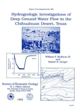
Regional and local hydrologic investigations were conducted in Trans-Pecos Texas as part of a study to evaluate potential sites for a low-level radioactive waste repository. The area is approximately 40 mi (65 km) southeast of El Paso in the Hueco Bolson, a fault-bounded desert basin that developed in the late Tertiary. Ground water in the principal study area is found in Hueco Bolson silts and sands at depths of 361 ft (110 m) and 478 ft (146 m), and at depths of 592 ft (180 m) in Cretaceous limestones.
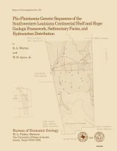
The Plio-Pleistocene hydrocarbon fairway of offshore western Louisiana is restricted to the outer continental shelf and upper continental slope where a thick wedge of nearshore and deep-marine sediments was deposited. Electric logs, paleontological reports, and seismic profiles form the basis for (1) dividing the wedge of Plio-Pleistocene strata into eight genetic sequences, (2) establishing the structural framework, (3) determining the timing of deformation, and (4) mapping the principal depositional systems of the West Cameron and western Garden Banks Areas during the past 5 m.y.
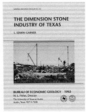
Texas has large resources of oil and natural gas that remain unrecovered. Unlike exploration and development in the past, today's remaining resource base does not depend on the discovery of large new fields; rather, the resource base becomes producible reserves by focusing on relatively small production increments. Economic efficiencies can be obtained through the transfer and application of technology, both existing technology and techniques that are as yet undeveloped.