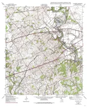
Publication Year
1993
Publisher
Series
Open-File Map
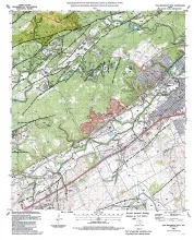
Publication Year
1993
Publisher
Series
Open-File Map
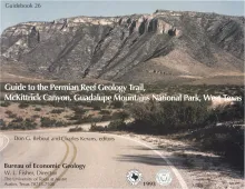
Publication Year
1993
Publisher
Series
Guidebook
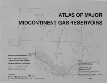
Publication Year
1993
Publisher
Series
Atlases of Major Oil and Gas Reservoirs
Publication Year
1992
Series
Gulf Coast Association of Geological Societies