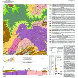
Oversize, color geologic maps on a topographic base, scale 1:24,000, depicting various geologic quadrangles in Texas, with informal text booklet, 1990's to the present
STATEMAP Project Maps
-
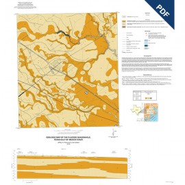
Placedo Quadrangle, Texas Gulf of Mexico... Placedo Quadrangle, Texas Gulf of Mexico...
$10.00Geologic Map of the Placedo Quadrangle, Texas Gulf of Mexico Coast, by J. G. Paine and Lucie Costard. 2019. Digital Version.For a print version: OFM0240. Geologic Map of the Placedo...
In Stock -
Placedo Quadrangle, Texas Gulf of Mexico... Placedo Quadrangle, Texas Gulf of Mexico...
$30.00Geologic Map of the Placedo Quadrangle, Texas Gulf of Mexico Coast, by J. G. Paine and Lucie Costard. 2019. Print Version.For a downloadable, digital version: OFM0240D. Geologic Map of the Placedo...
In Stock -
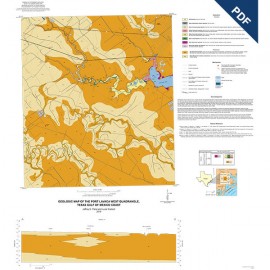
Port Lavaca West Quadrangle, Texas Gulf of... Port Lavaca West Quadrangle, Texas Gulf of...
$10.00Geologic Map of the Port Lavaca West Quadrangle, Texas Gulf of Mexico Coast, by J. G. Paine and Lucie Costard. 2019. Digital Version.For a print version: OFM0239. Geologic Map of the Port Lavaca West...
In Stock -
Port Lavaca West Quadrangle, Texas Gulf of... Port Lavaca West Quadrangle, Texas Gulf of...
$30.00Geologic Map of the Port Lavaca West Quadrangle, Texas Gulf of Mexico Coast, by J. G. Paine and Lucie Costard. 2019. Print Version.For a downloadable, digital version: OFM0239D. Geologic Map of the Port Lavaca West...
In Stock -
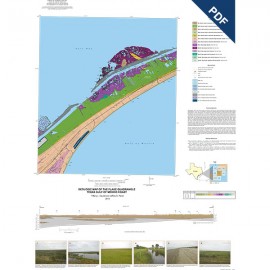
Flake Quadrangle, Texas Gulf of Mexico... Flake Quadrangle, Texas Gulf of Mexico...
$10.00Geologic Map of the Flake Quadrangle, Texas Gulf of Mexico Coast, by T. L. Caudle and J. G. Paine. 2019. Oversize geologic map on color topographic base, map scale 1:24,000. Digital Version.For a print version: OFM0238. Geologic Map of the Flake Quadrangle,...
In Stock -
Flake Quadrangle, Texas Gulf of Mexico Coast Flake Quadrangle, Texas Gulf of Mexico Coast
$20.00Geologic Map of the Flake Quadrangle, Texas Gulf of Mexico Coast, by T. L. Caudle and J. G. Paine. 2019. Oversize geologic map on color topographic base, map scale 1:24,000. Print Version.For a downloadable, digital version: OFM0238D. Geologic Map of the Flake Quadrangle,...
In Stock -
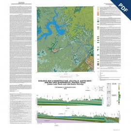
Geologic Map of Mansfield Dam, Jollyville,... Geologic Map of Mansfield Dam, Jollyville,...
$10.00Geologic Map of Mansfield Dam, Jollyville, Austin West, and Bee Cave Quadrangles, Central Texas (Lower Lake Travis and Lake Austin Vicinity), by C. M. Woodruff, Jr., and E. W. Collins. 2018. Oversize geologic map on color topographic base, map scale 1:50,000. Digital Version.For a print version: OFM0237. Geologic Map of Mansfield Dam,...
In Stock -
Geologic Map of Mansfield Dam, Jollyville,... Geologic Map of Mansfield Dam, Jollyville,...
$20.00Geologic Map of Mansfield Dam, Jollyville, Austin West, and Bee Cave Quadrangles, Central Texas (Lower Lake Travis and Lake Austin Vicinity), by C. M. Woodruff, Jr., and E. W. Collins. 2018. Oversize geologic map on color topographic base, map scale 1:50,000. Print Version.For a downloadable, digital version: OFM0237D. Geologic Map of Mansfield Dam,...
In Stock -
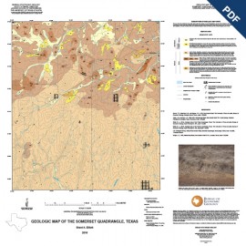
Somerset Quadrangle, Texas. Digital Download Somerset Quadrangle, Texas. Digital Download
$10.00Geologic Map of the Somerset Quadrangle, Texas, by B. A. Elliott. Digital Version.For a print version: OFM0236. Geologic Map of the Somerset...
In Stock -
Somerset Quadrangle, Texas Somerset Quadrangle, Texas
$15.00Geologic Map of the Somerset Quadrangle, Texas, by B. A. Elliott. Paper map. 2018. Print Version.For a downloadable, digital version: OFM0236D. Geologic Map of the Somerset...
In Stock -
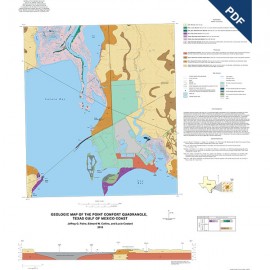
Point Comfort Quadrangle, Texas Gulf of... Point Comfort Quadrangle, Texas Gulf of...
$10.00Geologic Map of the Point Comfort Quadrangle, Texas Gulf of Mexico Coast, by J. G. Paine, E. W. Collins, and Lucy Costard. Oversize geologic map on color topographic base, 2 sheets. 2018. Digital Version.For a print version: OFM0235. Geologic Map of the Point Comfort...
In Stock -
Point Comfort Quadrangle, Texas Gulf of... Point Comfort Quadrangle, Texas Gulf of...
$30.00Geologic Map of the Point Comfort Quadrangle, Texas Gulf of Mexico Coast, by J. G. Paine, E. W. Collins, and Lucy Costard. Oversize geologic map on color topographic base, map scale 1:24,000, 2 sheets. 2018. Print Version.For a downloadable, digital version: OFM0235D. Geologic Map of the Point Comfort...
In Stock
