Miscellaneous Maps, Charts & Sections
-
Books & Reports
- Reports of Investigations
- Guidebooks
- Udden Series
- Geological Circulars
- Down To Earth
- Atlases of Major Oil and Gas Reservoirs
- Texas Memorial Museum Publications
- Environmental Geologic Atlas of the Texas Coastal Zone
- Mineral Resource Circulars
- Other Reports
- Seminars and Workshops
- Handbooks
- Submerged Lands of Texas
- Symposia
- Annual Reports
- Open File Reports
-
Maps & Cross Sections
- Thematic Maps
- Miscellaneous Maps, Charts & Sections
- Geologic Atlas of Texas
- STATEMAP Project Maps
- Geologic Quadrangle Maps
- Cross Sections
- Highway Geology Map
- Energy and Mineral Resource Maps
- Shoreline Change and Other Posters
- Wilcox Group, East Texas, Geological / Hydrological Folios
- Bouguer Gravity Atlas of Texas
- River Basin Regional Studies
- Featured Maps
- Posters
- Teachers & the Public
-
Geological Society Publications
- Gulf Coast Association of Geological Societies
- Alabama Geological Society
- Austin Geological Society
- Corpus Christi Geological Society
- Houston Geological Society
- Lafayette Geological Society
- Mississippi Geological Society
- New Orleans Geological Society
- South Texas Geological Society
- GCS SEPM Publications
- Historic BEG & UT Series
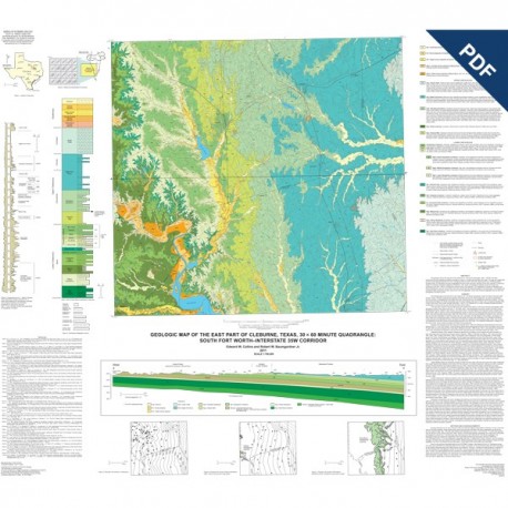
East Part of Cleburne Texas, 30 x 60 Minute Quadrangle. Digital Download
MM0051D
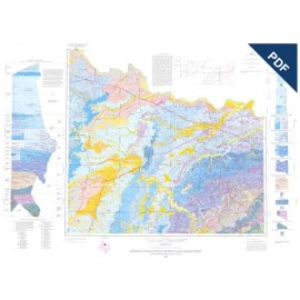
Geologic Map of the East Part of Cleburne, Texas, 30 x 60 Minute Quadrangle: South Fort Worth--Interstate 35W Corridor, by E. W. Collins and R. W. Baumgardner, Jr. Oversize color map, scale 1:100,000, 2011. Digital Version.
For a print version: MM0051.
MM0051D. Geologic Map of the East Part of Cleburne, Texas, 30 x 60 Minute Quadrangle: South Fort Worth--Interstate 35W Corridor, by E. W. Collins and R. W. Baumgardner, Jr. Oversize color map, scale 1:100,000, 2011.
To purchase this publication in paper format, please order MM0051.
About This Publication
This geologic map of the east part of the Cleburne 30 × 60 minute quadrangle, scale 1:100,000, has been constructed through mapping and digital compilation of twenty 1:24,0000-scale geologic work maps. The map and related data provide a basic geologic framework to aid in managing water and earth resources, planning land use, identifying aquifer recharge areas, and identifying sources of aggregate and other earth resources. Geology of the area consists of Cretaceous (Albian to Coniacian) limestone, argillaceous limestone, marl, shale, and sandstone units composing more than 1,500 ft of Cretaceous shelf and shore-zone deposits. This stratigraphy includes the Woodbine and Paluxy Sandstones, sources of sand within the unit’s outcrop belt and important aquifers in the subsurface. Edwards and Comanche Peak limestones are also resources for lime and aggregate. Some local limestone pits are within the Georgetown Formation.
Keywords: maps, geologic maps, Cleburne, Georgetown Formation, Paluxy Sandstone, Texas, Woodbine Sandstone
Citation
Collins, E. W., and Baumgardner, R. W., Jr., 2011, Geologic Map of the East Part of Cleburne, Texas, 30 x 60 Minute Quadrangle: South Fort Worth--Interstate 35W Corridor: The University of Texas at Austin, Bureau of Economic Geology, Miscellaneous Map No. 51, map scale 1:100,000.

