Reports of Investigations
-
Books & Reports
- Reports of Investigations
- Guidebooks
- Udden Series
- Geological Circulars
- Down To Earth
- Atlases of Major Oil and Gas Reservoirs
- Texas Memorial Museum Publications
- Environmental Geologic Atlas of the Texas Coastal Zone
- Mineral Resource Circulars
- Other Reports
- Seminars and Workshops
- Handbooks
- Submerged Lands of Texas
- Symposia
- Annual Reports
- Open File Reports
-
Maps & Cross Sections
- Thematic Maps
- Miscellaneous Maps, Charts & Sections
- Geologic Atlas of Texas
- STATEMAP Project Maps
- Geologic Quadrangle Maps
- Cross Sections
- Highway Geology Map
- Energy and Mineral Resource Maps
- Shoreline Change and Other Posters
- Wilcox Group, East Texas, Geological / Hydrological Folios
- Bouguer Gravity Atlas of Texas
- River Basin Regional Studies
- Featured Maps
- Posters
- Teachers & the Public
-
Geological Society Publications
- Gulf Coast Association of Geological Societies
- Alabama Geological Society
- Austin Geological Society
- Corpus Christi Geological Society
- Houston Geological Society
- Lafayette Geological Society
- Mississippi Geological Society
- New Orleans Geological Society
- South Texas Geological Society
- GCS SEPM Publications
- Historic BEG & UT Series
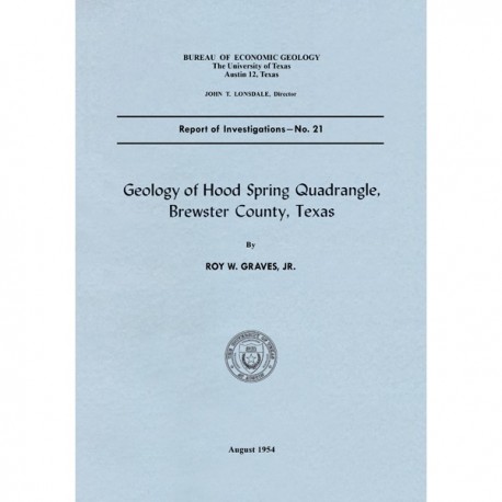
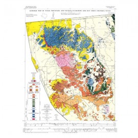
Geology of Hood Spring Quadrangle, Brewster County, Texas
RI0021
Geology of Hood Spring Quadrangle, Brewster County, Texas, by R. W. Graves, Jr. 51 p., 4 figs., 1 map, 7 plates, 1954. Print Version.
A free, digital version of this publication can be found on: Texas ScholarWorks
RI0021. Geology of Hood Spring Quadrangle, Brewster County, Texas, by R. W. Graves, Jr. 51 p., 4 figs., 1 map, 7 plates, 1954. Print.
To purchase this publication as a PDF download, please order RI0021D.
To purchase a copy of the map only, please order MM0017.
ABSTRACT
The Hood Spring quadrangle, in the central part of Brewster County, Texas, contains a segment of the southeast rim of the Marathon basin. It includes a part of the complexly folded and faulted Paleozoic rocks that occur in the center of the Marathon basin and also includes Cretaceous rocks exposed in the Maravillas scarp. This scarp has three stratigraphically separate cuestas that are formed by southeastward gently dipping beds. The southwestern corner of the quadrangle contains a faulted and folded segment of the Santiago Mountain range.
Rocks of Cambrian (Dagger Flat formation), Ordovician (Marathon, Alsate, Fort Peña, Woods Hollow, and Maravillas formations), Devonian (Caballos novaculite), and Pennsylvanian (Tesnus formation)ages occur in the area of Paleozoic outcrops. A conodont fauna from the upper part of the Caballos novaculite indicates a Middle to Upper Devonian age for those beds. Most of the Cretaceous rocks exposed in the quadrangle belong to the Comanche series (Glen Rose, Maxon, Walnut—ComanchePeak, Edwards, Kiamichi, Georgetown, Grayson, and Buda formations) and are similar to equivalent age strata in central Texas. Gulf series rocks (Boquillas and Terlingua formations) have a restricted occurrence in the southwestern corner of the quadrangle contains a faulted and folded segment of the Santiago Mountain range.
Tertiary intrusions include plugs, dikes, and sills of rhyolite, trachyte, and basalt which cut Cretaceous and Paleozoic rocks. These intrusives belong to the southern Trans-Pecos Texas suite of alkalic igneous rocks.
Keywords: Hood Spring Quadrangle, Brewster County, Texas, Marathon Basin, Maravillas scarp
CONTENTS
Abstract
Introduction
Location
Purpose and scope of the work
Field work
Acknowledgments
Physiography
Physical features
Erosional agencies
Climate and vegetation
General geology
Distribution of rocks
Cambrian system
Dagger Flat sandstone
Ordovician system
Marathon limestone
Alsate shale
Fort Pena formation
Woods Hollow shale
Maravillas formation
Devonian system
Caballos novaculite
Pennsylvanian system
Tesnus formation
Cretaceous system
Glen Rose formation
Maxon sandstone
Walnut and Comanche Peak formations
Edwards limestone
Kiamichi ·marl
Georgetown limestone
Grayson (Del Rio) marl
Buda limestone
Boquillas formation
Terlingua· formation
Alluvial deposits
General features
Stream alluvium
Gravel mantle on pediments and rock floors
Bolson deposits
Igneous rocks
General features
Rhyolites and trachytes
Basalts
Contact metamorphism
Structural geology
Figures
1. Index map showing Hood Spring quadrangle and adjacent quadrangles covered by published geologic reports
2. Cross section of Paleozoic rocks in the northwest corner of Hood Spring quadrangle in a ridge 1.5 miles east-northeast of Buttrill ranch
3. Sketch map and cross section of Caballos novaculite on north side of State highway No. 227, one-fourth mile southeast of Three-Mile Hill (Santiago Peak quadrangle), 17 miles south of Marathon, Texas
4. Representation of the fold and thrust fault which produced the ridge parallel to Maravillas Creek in the southwest part of Hood Spring quadrangle
PLATES
I. Geologic map and structure sections of the Hood Spring quadrangle
II. Angular unconformity in Maravillas scarp
III. Caballos formation
IV. Cretaceous formations and Quaternary alluvium
V. Edwards limestone
VI. Igneous intrusives
VII. Geologic map and structure sections of the Maravillas Creek area
VIII. Geologic map and structure sections of the Tinaja Range area
Citation
Graves, R. W., 1954, Geology of Hood Spring Quadrangle, Brewster County, Texas: The University of Texas at Austin, Bureau of Economic Geology, Report of Investigations No. 21, 51 p.
