Reports of Investigations
-
Books & Reports
- Reports of Investigations
- Guidebooks
- Udden Series
- Geological Circulars
- Down To Earth
- Atlases of Major Oil and Gas Reservoirs
- Texas Memorial Museum Publications
- Environmental Geologic Atlas of the Texas Coastal Zone
- Mineral Resource Circulars
- Other Reports
- Seminars and Workshops
- Handbooks
- Submerged Lands of Texas
- Symposia
- Annual Reports
- Open File Reports
-
Maps & Cross Sections
- Thematic Maps
- Miscellaneous Maps, Charts & Sections
- Geologic Atlas of Texas
- STATEMAP Project Maps
- Geologic Quadrangle Maps
- Cross Sections
- Highway Geology Map
- Energy and Mineral Resource Maps
- Shoreline Change and Other Posters
- Wilcox Group, East Texas, Geological / Hydrological Folios
- Bouguer Gravity Atlas of Texas
- River Basin Regional Studies
- Featured Maps
- Posters
- Teachers & the Public
-
Geological Society Publications
- Gulf Coast Association of Geological Societies
- Alabama Geological Society
- Austin Geological Society
- Corpus Christi Geological Society
- Houston Geological Society
- Lafayette Geological Society
- Mississippi Geological Society
- New Orleans Geological Society
- South Texas Geological Society
- GCS SEPM Publications
- Historic BEG & UT Series
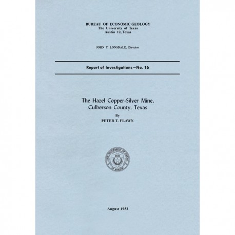
The Hazel Copper-Silver Mine, Culberson County, Texas
RI0016
The Hazel Copper-Silver Mine, Culberson County, Texas, by P. T. Flawn. 23 p., 4 figs., 7 pls., 1952. Print Version.
A free, digital version of this publication can be found on: Texas ScholarWorks
RI0016. The Hazel Copper-Silver Mine, Culberson County, Texas, by P. T. Flawn. 23 p., 4 figs., 7 pls., 1952. RI0016.
To purchase this publication as a PDF download, please order RI0016D.
Excerpted from the Introduction
The Hazel mine is one of the oldest mines in Texas and has been the largest copper-producing property in the State. The mine has a recorded production of over 1 million pounds of copper and over ½ million ounces of silver, and there are a number of years in which the mine was active but for which no figures are available. True production is in the neighborhood of 4 to 5 million ounces of silver and 1½ million pounds of copper.
The Hazel mine is the most important of a group of mines and prospects known as the Allamoore—Van Horn copper district. This district lies within Culberson and Hudspeth counties in an area of pre-Cambrian rocks exposed between the scarp of the Sierra Diablo to the north and Beach and Baylor Mountains to the southeast and east. The district is bounded on the east and west by the approximate longitudes of Van Horn and Allamoore. The altitude is about 4,500 to 5,000 feet, climate is arid or semi-arid (generally less than 10 inches rain per year), and mining operations can be conducted all year. Water is obtained from wells or mine seeps. Vegetation is of a desert type and consists of various cacti, yucca, and thorny shrubs without suitable mine timber.
Keywords: Hazel Mine, Culberson County, mines, copper, silver, Hudspeth County, Texas
CONTENTS
Introduction
Location
Previous work
Present work
History and production
Workings
East shaft
Inclined shaft
West shaft
Geology
General geologic relations
Hazel fracture zone
Mineralization
The ore
Localization of ore
Wall rock alteration
Sequence of mineralization
Age of the mineralization
Gravimetric data
Ore reserves
Inventory of the property
Recommendations for exploration
Bibliography
FIGURES
1. Index map of the Hazel mine area, Culberson County, Texas
2. Gravitational force map of Hazel mine
3. Gravitational force map of Marvin-Judson prospect
4. Diagram of gravity anomaly caused by leached zone
PLATES (in pocket of book)
I. Geologic and topographic map of the Hazel mine
II. Vertical sections and level plans of the Hazel mine in 1891 (after Von Streeruwitz)
III. Map (after World Exploration Company) showing underground workings in Hazel mine
IV. Generalized composite map of the Hazel mine (after World Exploration Company and Sample and Gould)
V. Assay map of the Hazel mine (after World Exploration Company)
VI. Geologic map of the Hazel mine area
VII. Photographs of the Hazel mine in 1891 and 1951
TABLE
1. Recorded production from the Hazel mine area
Citation
Flawn, P. T., 1952, The Hazel Copper-Silver Mine, Culberson County, Texas: The University of Texas at Austin, Bureau of Economic Geology, Report of Investigations No, 16, 23 p.
