Reports of Investigations
-
Books & Reports
- Reports of Investigations
- Guidebooks
- Udden Series
- Geological Circulars
- Down To Earth
- Atlases of Major Oil and Gas Reservoirs
- Texas Memorial Museum Publications
- Environmental Geologic Atlas of the Texas Coastal Zone
- Mineral Resource Circulars
- Other Reports
- Seminars and Workshops
- Handbooks
- Submerged Lands of Texas
- Symposia
- Annual Reports
- Open File Reports
-
Maps & Cross Sections
- Thematic Maps
- Miscellaneous Maps, Charts & Sections
- Geologic Atlas of Texas
- STATEMAP Project Maps
- Geologic Quadrangle Maps
- Cross Sections
- Highway Geology Map
- Energy and Mineral Resource Maps
- Shoreline Change and Other Posters
- Wilcox Group, East Texas, Geological / Hydrological Folios
- Bouguer Gravity Atlas of Texas
- River Basin Regional Studies
- Featured Maps
- Posters
- Teachers & the Public
-
Geological Society Publications
- Gulf Coast Association of Geological Societies
- Alabama Geological Society
- Austin Geological Society
- Corpus Christi Geological Society
- Houston Geological Society
- Lafayette Geological Society
- Mississippi Geological Society
- New Orleans Geological Society
- South Texas Geological Society
- GCS SEPM Publications
- Historic BEG & UT Series
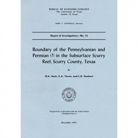
Boundary of the Pennsylvanian and Permian(?) in the Subsurface Scurry Reef, Scurry County, Texas
RI0013
For a downloadable, digital version: RI0013D.
RI0013. Boundary of the Pennsylvanian and Permian(?) in the Subsurface Scurry Reef, Scurry County, Texas, by W. A. Heck, K. A. Yenne, and L. G. Henbest. 17 p., 5 figs., 1 plate, 1952. Print.
To purchase this publication as a PDF download, please order RI0013D.
ABSTRACT
The subsurface sedimentary complex that comprises the Scurry reef and the overlying terrigenous clastic unit in Scurry County, Texas, were formerly regarded as of Canyon and Cisco Pennsylvanian age. Core samples from depths of 6,804 to 6,828 feet in the Wilshire Oil Company’s No. 8 Lunsford well reveal the presence of Triticites pinguis? Dunbar and Skinner, Schwagerina longissimoidea (Beede), and “Schwagerina” compacta (White), which indicate early Wolfcamp Permian (?) age.
Triticites pinguis? continues downward in limestone to a depth of approximately 6,875 feet, and since this form, so far as known, is also restricted to rocks of early Wolfcamp age, the stratigraphic unit is classed as Wolfcamp. The overlying black shales are therefore at least as young as Wolfcamp. The fusulinids in the limestone immediately below the 6,875-foot level indicate Canyon (Missouri) age. If beds of Cisco age are present in this well, they could not be recognized by their fauna.
Keywords: Scurry Reef, Scurry County, shale, subsurface, Texas, Wolfcamp
CONTENTS
Abstract
Introduction
The age of the Scurry reef and the overlying black shales
Lithology and paleontology of the reef rock and overlying black shales
Depositional history
Conclusions
References
FIGURES
1. Map of major structural features of west-central Texas
2. Generalized subsurface contour map of the top of the Scurry reef
3. Profile of reef along A-A' of figure 2
4. Electric log and microlog of the Wilshire Oil Company's No. 8 Lunsford well, Scurry County, Texas
5. Lithology of the reef limestones and overlying shales in the Wilshire Oil Company's No. 8 Lunsford well
PLATE
I. Fusulinidae from the Wilshire Oil Company's No. 8 Lunsford well, Scurry County, Texas
Citation
Heck, W. A., Yenne, K. A., and Henbest, L. G., 1952, Boundary of the Pennsylvanian and Permian(?) in the Subsurface Scurry Reef, Scurry County, Texas: The University of Texas at Austin, Bureau of Economic Geology, Report of Investigations No. 13, 17 p.
