Reports of Investigations
-
Books & Reports
- Reports of Investigations
- Guidebooks
- Udden Series
- Geological Circulars
- Down To Earth
- Atlases of Major Oil and Gas Reservoirs
- Texas Memorial Museum Publications
- Environmental Geologic Atlas of the Texas Coastal Zone
- Mineral Resource Circulars
- Other Reports
- Seminars and Workshops
- Handbooks
- Submerged Lands of Texas
- Symposia
- Annual Reports
- Open File Reports
-
Maps & Cross Sections
- Thematic Maps
- Miscellaneous Maps, Charts & Sections
- Geologic Atlas of Texas
- STATEMAP Project Maps
- Geologic Quadrangle Maps
- Cross Sections
- Highway Geology Map
- Energy and Mineral Resource Maps
- Shoreline Change and Other Posters
- Wilcox Group, East Texas, Geological / Hydrological Folios
- Bouguer Gravity Atlas of Texas
- River Basin Regional Studies
- Featured Maps
- Posters
- Teachers & the Public
-
Geological Society Publications
- Gulf Coast Association of Geological Societies
- Alabama Geological Society
- Austin Geological Society
- Corpus Christi Geological Society
- Houston Geological Society
- Lafayette Geological Society
- Mississippi Geological Society
- New Orleans Geological Society
- South Texas Geological Society
- GCS SEPM Publications
- Historic BEG & UT Series
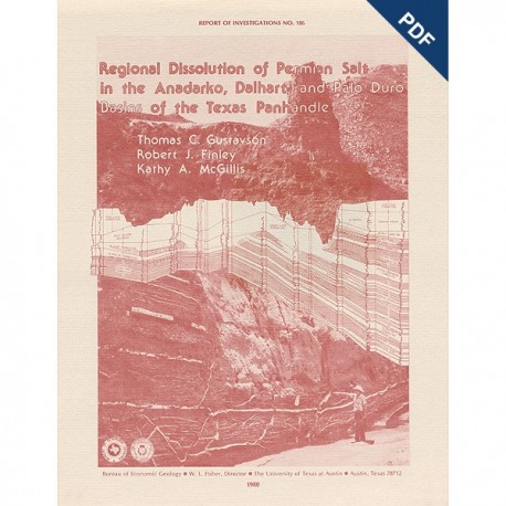
Regional Dissolution of Permian Salt in the Anadarko, Dalhart, and Palo Duro Basins ...Panhandle. Digital Download
RI0106D
A free, digital version of this publication can be found on: Texas ScholarWorks
To purchase a print version (if available): RI0106
RI0106D. Regional Dissolution of Permian Salt in the Anadarko, Dalhart, and Palo Duro Basins of the Texas Panhandle, by T. C. Gustavson, R. J. Finley, and K. A. McGillis. 40 p., 31 figs., 1 table, 1980. doi.org/10.23867/RI106D. Downloadable PDF.
To purchase this publication in book format, please order RI0106.
ABSTRACT
A broad zone of salt dissolution that affects parts of the Permian Salado, Seven Rivers, San Andres, Glorieta, and upper Clear Fork Formations occurs beneath the Canadian River Valley from New Mexico eastward toward Amarillo, Texas, and southeastward parallel to the eastern Caprock Escarpment. Structure contours on the base of the Tertiary Ogallala Formation show broad areas with as much as 120 m (400 ft) of relief that are attributed to salt dissolution and subsidence in the Anadarko Basin and along the northern and eastern margins of the Palo Duro and Dalhart Basins. Cumulative thickness of salt dissolution ranges up to 335 m (1,100 ft) and has resulted in the collapse of overlying beds to form breccias, chimneys filled with collapse breccias, faults, sinkholes, and complexly folded terrane.
In the Anadarko and Dalhart Basins, dissolution followed deposition of Lower Cretaceous sandstones of the Kiowa Formation and Dakota Group. Late Cretaceous and early Tertiary erosion removed most Cretaceous and Triassic sediments, leaving only plugs of brecciated Cretaceous sandstone preserved as collapse chimney fillings in Petmian sediments. Dissolution probably continued throughout the Tertiary. During and following deposition of the Miocene-Pliocene Ogallala Formation, dissolution resulted in numerous large solution basins up to 310 km2 (120 mi2) in area and solution troughs up to 80 km (50mi) long. Continued dissolution led to over 75 m (250 ft) of regional lowering of the Great Plains surface over parts of the Dalhart and Anadarko Basins by the late Pleistocene.
Active dissolution along the northern margin and central part of the Palo Duro Basin creates collapse sinks, salt seeps, salt pans, and saline springs. The annual average solute load of streams draining these areas is 2.8 x 10⁶ tons of total dissolved solids. Analysis of salt distribution in the Salado, Seven Rivers, San Andres, Glorieta, and Clear Fork Formations, when compared with solute loads of streams draining the Texas Panhandle, suggests that salt dissolution is much more rapid in the center of the Palo Duro Basin along the High Plains Escarpment than along the northern margin of the basin below the Canadian River Valley. Rates of horizontal salt dissolution for areas in the vicinity of the Prairie Dog Town Fork of the Red River, the Little Red River, and for tributaries of the Brazos and Wichita Rivers range from 0.03 to 81.7 cm (9.84 x 10⁻⁵ to 2.68 ft) per year.
Keywords: salt dissolution, Anadarko Basin, Dalhart Basin, Palo Duro Basin, Texas, Texas Panhandle, Caprock Escarpment, Permian, Salado Formation, Seven Rivers Formation, San Andres Formation, Glorieta Formation, Clear Fork Formation
Citation
Gustavson, T. C., Finley, R. J., and McGillis, K. A., 1980, Regional Dissolution of Permian Salt in the Anadarko, Dalhart, and Palo Duro Basins of the Texas Panhandle: The University of Texas at Austin, Bureau of Economic Geology, Report of Investigations No. 106, 40 p.

