Reports of Investigations
-
Books & Reports
- Reports of Investigations
- Guidebooks
- Udden Series
- Geological Circulars
- Down To Earth
- Atlases of Major Oil and Gas Reservoirs
- Texas Memorial Museum Publications
- Environmental Geologic Atlas of the Texas Coastal Zone
- Mineral Resource Circulars
- Other Reports
- Seminars and Workshops
- Handbooks
- Submerged Lands of Texas
- Symposia
- Annual Reports
- Open File Reports
-
Maps & Cross Sections
- Thematic Maps
- Miscellaneous Maps, Charts & Sections
- Geologic Atlas of Texas
- STATEMAP Project Maps
- Geologic Quadrangle Maps
- Cross Sections
- Highway Geology Map
- Energy and Mineral Resource Maps
- Shoreline Change and Other Posters
- Wilcox Group, East Texas, Geological / Hydrological Folios
- Bouguer Gravity Atlas of Texas
- River Basin Regional Studies
- Featured Maps
- Posters
- Teachers & the Public
-
Geological Society Publications
- Gulf Coast Association of Geological Societies
- Alabama Geological Society
- Austin Geological Society
- Corpus Christi Geological Society
- Houston Geological Society
- Lafayette Geological Society
- Mississippi Geological Society
- New Orleans Geological Society
- South Texas Geological Society
- GCS SEPM Publications
- Historic BEG & UT Series
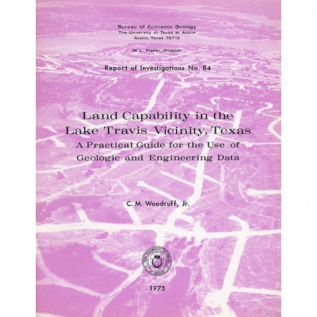
Land Capability in the Lake Travis Vicinity, Texas, A Practical Guide for the Use of Geologic and Engineering Data
RI0084
Land Capability in the Lake Travis Vicinity, Texas: A Practical Guide for the Use of Geologic and Engineering Data, by C. M. Woodruff, Jr. 37 p., 22 figs., 13 tables, 3 plates, 1 appendix, 1975. ISSN: 0082355X: Print Version.
A free, digital version of this publication can be found on: Texas ScholarWorks
RI0084. Land Capability in the Lake Travis Vicinity, Texas: A Practical Guide for the Use of Geologic and Engineering Data, by C. M. Woodruff, Jr. 37 p., 22 figs., 13 tables, 3 plates, 1 appendix, 1975. ISSN: 0082355X: Print.
To purchase this publication as a downloadable PDF, please order RI0084D.
ABSTRACT
The Lake Travis vicinity lies predominantly within a carbonate rock terrane and is the site of ongoing intensive residential development. Such development may impose adverse environmental effects such as upland erosion, rapid infilling of the lake with sediment, and the ultimate lowering of surface- or ground-water quality. Furthermore, inhabitants may be subjected unwittingly to geologic hazards such as flooding or mass wasting. These adversities can be largely avoided if the natural carrying capacity of the land is assessed and if human activities accordingly compensate for these limitations.
A series of maps shows the facets of the land needed to evaluate the natural capabilities for sustaining various human uses of lakeshore lands. The basic maps show topography, physical properties (of substrate), and environmental geology (which is an integration of processes, substrate, and landforms). These maps and tabular interpretations facilitate judgments regarding engineering-construction feasibility, long-term ground stability, loci of hazards, water regimes, mineral resource localities, and characteristics of biotic and engineering soils. These judgments are further facilitated by a series of simplified maps showing soil distribution, thickness, and texture, fracture-trace intensity, and ground slope.
Areas subject to ongoing hazardous processes pose the most severe constraints on human activities. These include flood-prone areas and unstable-slope areas. Flood-prone areas consist of land below lake-spillway level and areas adjacent to lake tributaries. Unstable-slope areas generally comprise oversteepened claystone terranes.
Most of the carbonate rock terrane is covered by thin soils, so that constraints on uses depend mainly on ground-slope characteristics, properties of substrate, or the possibility of ground-water recharge and storage. High-slope areas pose problems with rapid surface-water runoff and resurfacing of septic effluents as well as construction difficulties related to grading and excavating. The low-slope carbonate rock areas may pose construction difficulties related to a well-indurated substrate. Also, in these gently sloping areas there is the possibility of recharge of septic effluents into local ground-water supplies.
Claystone terranes constrain uses mainly because of substrate-soil properties of relatively low strength and low permeability. However, these properties offer possibilities in terms of potential solid waste disposal sites. Areas underlain by friable sand and conglomerate and alluvium impose fewer constraints on uses. Soils are generally thicker and slopes are commonly more gentle in these areas than in the carbonate rock terranes. However, uses such as intensive residential developments with septic tanks or solid waste emplacement are largely precluded because of local high substrate permeability and a shallow water table.
Constraints on human uses and activities refer to constraints regarding the land in a natural condition. In most instances the constraints can be mitigated by modification of the land or by adjustment of the proposed activities so that uses may not be, in fact, precluded.
Keywords: Austin, environmental geology, impact mitigation, Lake Travis area, land-use constraints, residential development, Texas, thematic map
Citation
Woodruff, C. M., Jr., 1975, Land Capability in the Lake Travis Vicinity, Texas: A Practical Guide for the Use of Geologic and Engineering Data: The University of Texas at Austin, Bureau of Economic Geology, Report of Investigations No. 84, 37 p.
