Geological Circulars
-
Books & Reports
- Reports of Investigations
- Guidebooks
- Udden Series
- Geological Circulars
- Down To Earth
- Atlases of Major Oil and Gas Reservoirs
- Texas Memorial Museum Publications
- Environmental Geologic Atlas of the Texas Coastal Zone
- Mineral Resource Circulars
- Other Reports
- Seminars and Workshops
- Handbooks
- Submerged Lands of Texas
- Symposia
- Annual Reports
- Open File Reports
-
Maps & Cross Sections
- Thematic Maps
- Miscellaneous Maps, Charts & Sections
- Geologic Atlas of Texas
- STATEMAP Project Maps
- Geologic Quadrangle Maps
- Cross Sections
- Highway Geology Map
- Energy and Mineral Resource Maps
- Shoreline Change and Other Posters
- Wilcox Group, East Texas, Geological / Hydrological Folios
- Bouguer Gravity Atlas of Texas
- River Basin Regional Studies
- Featured Maps
- Posters
- Teachers & the Public
-
Geological Society Publications
- Gulf Coast Association of Geological Societies
- Alabama Geological Society
- Austin Geological Society
- Corpus Christi Geological Society
- Houston Geological Society
- Lafayette Geological Society
- Mississippi Geological Society
- New Orleans Geological Society
- South Texas Geological Society
- GCS SEPM Publications
- Historic BEG & UT Series
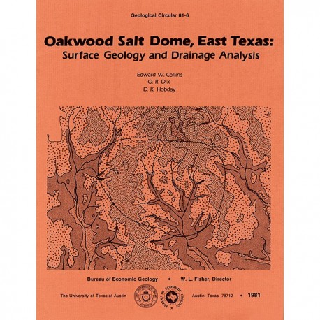
Oakwood Salt Dome, East Texas: Surface Geology and Drainage Analysis
GC8106
For a downloadable, digital version: GC8106D.
GC8106. Oakwood Salt Dome, East Texas: Surface Geology and Drainage Analysis, by E. W. Collins, O. R. Dix, and D. K. Hobday. 23 p., 26 figs., 3 tables, 1981. ISSN: 0082-3309. Print.
To purchase this publication as a PDF download, please order GC8106D.
ABSTRACT
Oakwood Salt Dome in Leon and Freestone Counties, East Texas, is under consideration as a nuclear waste repository. The surficial geology above the dome provides information needed to evaluate the last stages of salt growth in Oakwood Dome and has a bearing on studies of ground-water flow patterns. The Claiborne Group has been uplifted, exposed, and eroded as a result of dome growth. The Carrizo, Reklaw, and Queen City Formations crop out over the dome. The Carrizo Formation comprises bedload-dominated alluvial deposits and is an important aquifer. The Newby Member of the Reklaw Formation was deposited during marine transgression; the overlying Marquez Member was deposited in a partly restricted marginal embayment, and crevasse splays and small bayhead deltas constitute coarser grained facies. The Queen City Formation comprises upward-coarsening shoal-water delta sequences and polymodally crossbedded, marginal-marine sand shoals. Slight thinning of these formations over Oakwood Dome suggests growth contemporaneous with deposition. Deposition over a topographically domed but totally stable area would not account for the vertically repetitive patterns of stratal thinning.
Quaternary terrace deposits are poorly preserved and reveal no evidence of warping or faulting related to dome movement. However, geomorphic anomalies, such as cut-off channels, recent stream incision into bedrock and related Holocene terraces, abundant nickpoints in homogeneous bedrock, and evidence from drainage patterns, suggest the possibility of minor dome movement during the Pleistocene Epoch. The occurrence of thicker Holocene floodplain sediments over the central dome area, as compared with those of the southern flank of the dome, may indicate continuing subsidence related to cap rock or salt solution. There is insufficient evidence to confirm this conclusion.
Keywords: Carrizo Formation, Claiborne Group, East Texas, Freestone County, Holocene, Leon County, Oakwood Dome, Queen City Formation, Reklaw Formation, salt domes, Texas, waste disposal
Citation
Collins, E. W., Dix, O. R., and Hobday, D. K., 1981, Oakwood Salt Dome, East Texas: Surface Geology and Drainage Analysis: The University of Texas at Austin, Bureau of Economic Geology, Geological Circular 81-6, 23 p.


