Geological Circulars
-
Books & Reports
- Reports of Investigations
- Guidebooks
- Udden Series
- Geological Circulars
- Down To Earth
- Atlases of Major Oil and Gas Reservoirs
- Texas Memorial Museum Publications
- Environmental Geologic Atlas of the Texas Coastal Zone
- Mineral Resource Circulars
- Other Reports
- Seminars and Workshops
- Handbooks
- Submerged Lands of Texas
- Symposia
- Annual Reports
- Open File Reports
-
Maps & Cross Sections
- Thematic Maps
- Miscellaneous Maps, Charts & Sections
- Geologic Atlas of Texas
- STATEMAP Project Maps
- Geologic Quadrangle Maps
- Cross Sections
- Highway Geology Map
- Energy and Mineral Resource Maps
- Shoreline Change and Other Posters
- Wilcox Group, East Texas, Geological / Hydrological Folios
- Bouguer Gravity Atlas of Texas
- River Basin Regional Studies
- Featured Maps
- Posters
- Teachers & the Public
-
Geological Society Publications
- Gulf Coast Association of Geological Societies
- Alabama Geological Society
- Austin Geological Society
- Corpus Christi Geological Society
- Houston Geological Society
- Lafayette Geological Society
- Mississippi Geological Society
- New Orleans Geological Society
- South Texas Geological Society
- GCS SEPM Publications
- Historic BEG & UT Series
Regional Tertiary Cross Sections: Texas Gulf Coast
GC7605
A free, digital version of this publication can be found on: Texas ScholarWorks
This product is no longer in stock
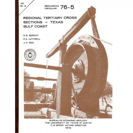
GC7605. Regional Tertiary Cross Sections: Texas Gulf Coast, by D. G. Bebout, P. E. Luttrell, and J. H. Seo. 10 p., 7 figs., 1 table, 1976. ISSN: 0082-3309. Print.
To purchase this publication as a PDF download, please order GC7605D.
ABSTRACT
The Bureau of Economic Geology has been conducting regional studies of the Frio Formation along the Texas Gulf Coast to evaluate potential geothermal energy from deep, geopressured sandstone reservoirs (Bebout, Dorfman, and Agagu, 1975; Bebout, Agagu, and Dorfman, 1975}. The procedures used in this evaluation were reviewed at the Second Geopressured Geothermal Energy Conference held at The University of Texas at Austin and sponsored by the United States Energy Research and Development Administration. The index map (fig. 1) and cross sections (figs. 2-7) included in this circular were prepared for that meeting and were included in the Proceedings (Bebout, 1976).
Published regional cross sections (Corpus Christi Geological Society Study Group, 1954-55, 1964; Deussen and Owen, 1939; Houston Geological Society Study Group, 1954, 1972; and South Texas Geological Society, 1951), unpublished cross sections provided by several major oil companies, and extensive micropaleontological and electrical-log files at the Bureau of Economic Geology served as basic data. These sections are meant to show gross regional distribution of sand and shale facies both laterally and vertically throughout the entire Tertiary section along the Texas Gulf Coast. Closely spaced wells were used for detailed correlation, but for clarity many have been omitted for these cross sections (fig. 1 and table 1). Growth faults tend to obscure regional trends and have been omitted. The top of the geopressure zone is indicated by an arrow. At least eight sand-shale wedges are easily recognized on regional electrical-log cross sections (figs. 2-7). Hardin (1961) illustrated the major wedges as the Midway/Wilcox, Reklaw/Queen City, Weches/Sparta, Cook Mountain/Yegua, Jackson, Vicksburg, Frio, and Anahuac/Fleming. The Pliocene and Pleistocene comprise additional cycles but are undifferentiated in this study. These cycles reflect changes in the ancient shoreline resulting from variations in sediment supply, rate of subsidence, and position of sea level. In general, in the updip end of the wedge the main sand depocenter is in the lower part of the section and downdip it is progressively higher in the section; this is a progradational cycle. In order to emphasize these wedges, the boundary between the facies-related sand-shale couplet is defined by a dashed line on the cross sections. Time lines within the couplet are expected to cross the dashed line as the deltaic or barrier sands prograde basinward over the prodelta or shelf shales.
Keywords: cross sections, Frio Formation, geopressure, Gulf Coast, Texas Gulf Coast, Texas
Citation
Bebout, D. G., Luttrell, P. E., and Seo, J. H., 1976, Regional Tertiary Cross Sections: Texas Gulf Coast: The University of Texas at Austin, Bureau of Economic Geology, Geological Circular 76-5, 10 p.
