Environmental Geologic Atlas of the Texas Coastal Zone
-
Books & Reports
- Reports of Investigations
- Guidebooks
- Udden Series
- Geological Circulars
- Down To Earth
- Atlases of Major Oil and Gas Reservoirs
- Texas Memorial Museum Publications
- Environmental Geologic Atlas of the Texas Coastal Zone
- Mineral Resource Circulars
- Other Reports
- Seminars and Workshops
- Handbooks
- Submerged Lands of Texas
- Symposia
- Annual Reports
- Open File Reports
-
Maps & Cross Sections
- Thematic Maps
- Miscellaneous Maps, Charts & Sections
- Geologic Atlas of Texas
- STATEMAP Project Maps
- Geologic Quadrangle Maps
- Cross Sections
- Highway Geology Map
- Energy and Mineral Resource Maps
- Shoreline Change and Other Posters
- Wilcox Group, East Texas, Geological / Hydrological Folios
- Bouguer Gravity Atlas of Texas
- River Basin Regional Studies
- Featured Maps
- Posters
- Teachers & the Public
-
Geological Society Publications
- Gulf Coast Association of Geological Societies
- Alabama Geological Society
- Austin Geological Society
- Corpus Christi Geological Society
- Houston Geological Society
- Lafayette Geological Society
- Mississippi Geological Society
- New Orleans Geological Society
- South Texas Geological Society
- GCS SEPM Publications
- Historic BEG & UT Series
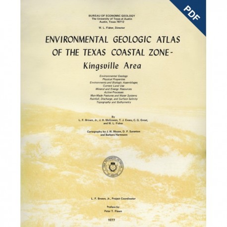
Environmental Geologic Atlas of the Texas Coastal Zone--Kingsville Area. Digital Download
EA0006D
A free, digital version of this publication can be found on: Texas ScholarWorks
To purchase a print version (if available): EA0006
EA0006D. Environmental Geologic Atlas of the Texas Coastal Zone--Kingsville Area, by L. F. Brown, Jr., J. H. McGowen, T. J. Evans, C. G. Groat, and W. L. Fisher. 131 p., 30 figs., 15 tables, 9 maps, 1977. Downloadable PDF.
To purchase this publication in book format, please order EA0006.
About this Publication
The Kingsville area comprises a unique portion of the Texas Gulf Coast--the South Texas Eolian System. The mapped area includes a diverse suite of wind-dominated environments stretching from Kleberg County south to southern Kenedy County, and inland from Padre Island across extensive wind-tidal flats and onto the predominantly sandy region as far west as Kingsville.
Land use in the Kingsville area is dominated by ranching interests. Urban development is concentrated around the City of Kingsville and a few small sites along U.S. Highway 77. Padre Island, a thin barrier island east of Laguna Madre, is a federally protected National Seashore. Bay-estuarine areas are characterized by hypersalinity in Laguna Madre and Baffin Bay, presence of now-dead serpulid reefs, and an array of wind-tidal flat and transitional eolian environments.
Keywords: atlases, environmental geology, coastal geology, Kingsville area, Kleberg County, Kenedy County, Texas
Citation
Brown, L. F., Jr., McGowen, J. H., Evans, T. J., Groat, C. G., and Fisher, W. L., 1977, Environmental Geologic Atlas of the Texas Coastal Zone--Kingsville Area: The University of Texas at Austin, Bureau of Economic Geology, Environmental Geologic Atlas EA0006, 131 p.

