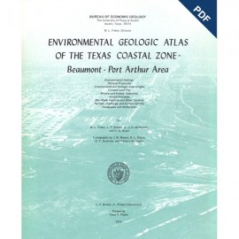
Environmental Geologic Atlas of the Texas Coastal Zone
-
Books & Reports
- Reports of Investigations
- Guidebooks
- Udden Series
- Geological Circulars
- Down To Earth
- Atlases of Major Oil and Gas Reservoirs
- Texas Memorial Museum Publications
- Environmental Geologic Atlas of the Texas Coastal Zone
- Mineral Resource Circulars
- Other Reports
- Seminars and Workshops
- Handbooks
- Submerged Lands of Texas
- Symposia
- Annual Reports
- Open File Reports
-
Maps & Cross Sections
- Thematic Maps
- Miscellaneous Maps, Charts & Sections
- Geologic Atlas of Texas
- STATEMAP Project Maps
- Geologic Quadrangle Maps
- Cross Sections
- Highway Geology Map
- Energy and Mineral Resource Maps
- Shoreline Change and Other Posters
- Wilcox Group, East Texas, Geological / Hydrological Folios
- Bouguer Gravity Atlas of Texas
- River Basin Regional Studies
- Featured Maps
- Posters
- Teachers & the Public
-
Geological Society Publications
- Gulf Coast Association of Geological Societies
- Alabama Geological Society
- Austin Geological Society
- Corpus Christi Geological Society
- Houston Geological Society
- Lafayette Geological Society
- Mississippi Geological Society
- New Orleans Geological Society
- South Texas Geological Society
- GCS SEPM Publications
- Historic BEG & UT Series
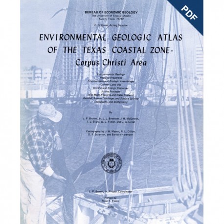
Environmental Geologic Atlas of the Texas Coastal Zone--Corpus Christi Area. Digital Download
EA0004D
A free, digital version of this publication can be found on: Texas ScholarWorks
To purchase a print version (if available): EA0004
EA0004D. Environmental Geologic Atlas of the Texas Coastal Zone--Corpus Christi Area, by L. F. Brown, Jr., J. L. Brewton, J. H. McGowen, T. J. Evans, W. L. Fisher, and C. G. Groat. 123 p., 32 figs., 13 tables, 9 oversize color maps, 1976. Downloadable PDF.
To purchase this publication in book format, please order EA0004.
About This Publication
The Corpus Christi area extends from Kleberg County on the south to Refugio County on the north and includes many urban clusters in addition to the Greater Corpus Christi area. A wide variety of natural environments is present, including loess-covered uplands, Modern coastal barrier islands, shallow bays and related wind-tidal flats and fringing marshes, and flat land and mud uplands stretching for tens of miles inland from the elongate sand deposits of Encinal Peninsula. Live Oak Ridge, and Live Oak Peninsula.
Land use in the Corpus Christi area is varied. Urban-industrial lands fringe Nueces and Corpus Christi Bays, recreational lands extend along north Padre, Mustang, and San Jose Islands, and fertile croplands support profitable agricultural businesses in the area.
Keywords: atlases, environmental geology, Texas Coastal Zone; Corpus Christi area, Corpus Christi Bay, Nueces Bay, land use, Padre Island, Mustang Island, San Jose Island, Texas
Citation
Brown, L. F., Jr., Brewton, J. L., McGowen, J. H., Evans, T. J., Fisher, W. L., and Groat, C. G., 1976, Environmental Geologic Atlas of the Texas Coastal Zone--Corpus Christi Area: The University of Texas at Austin, Bureau of Economic Geology, Environmental Geologic Atlas EA0004D, 123 p.

